Moxieblog
  • Blog
  • About
  • Contact

On to Vero beach

12/14/2014

1 Comment

 
Picture
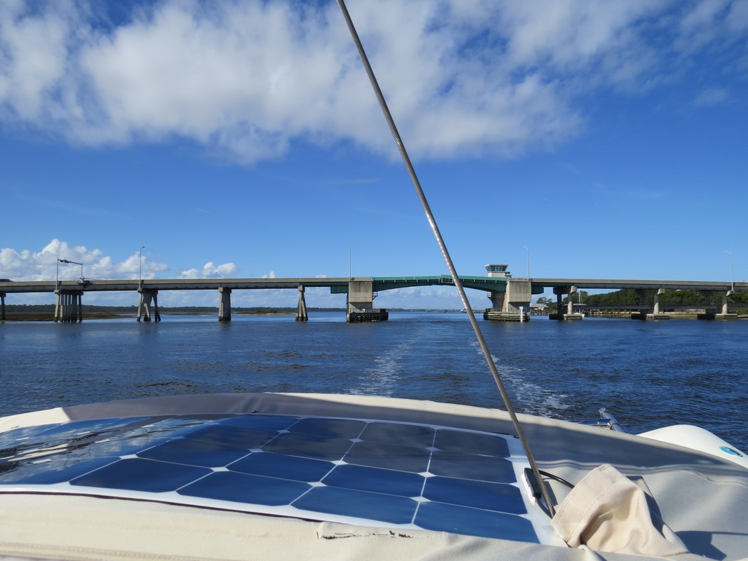
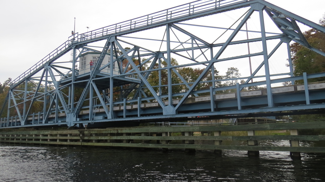
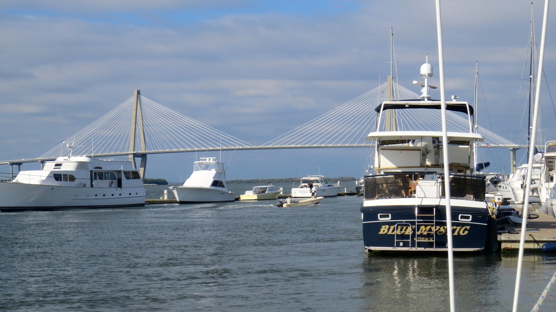
Another bascual opening bridge not far from St. Augustine.
Picture
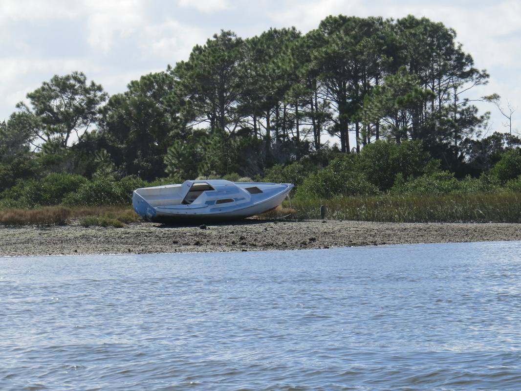
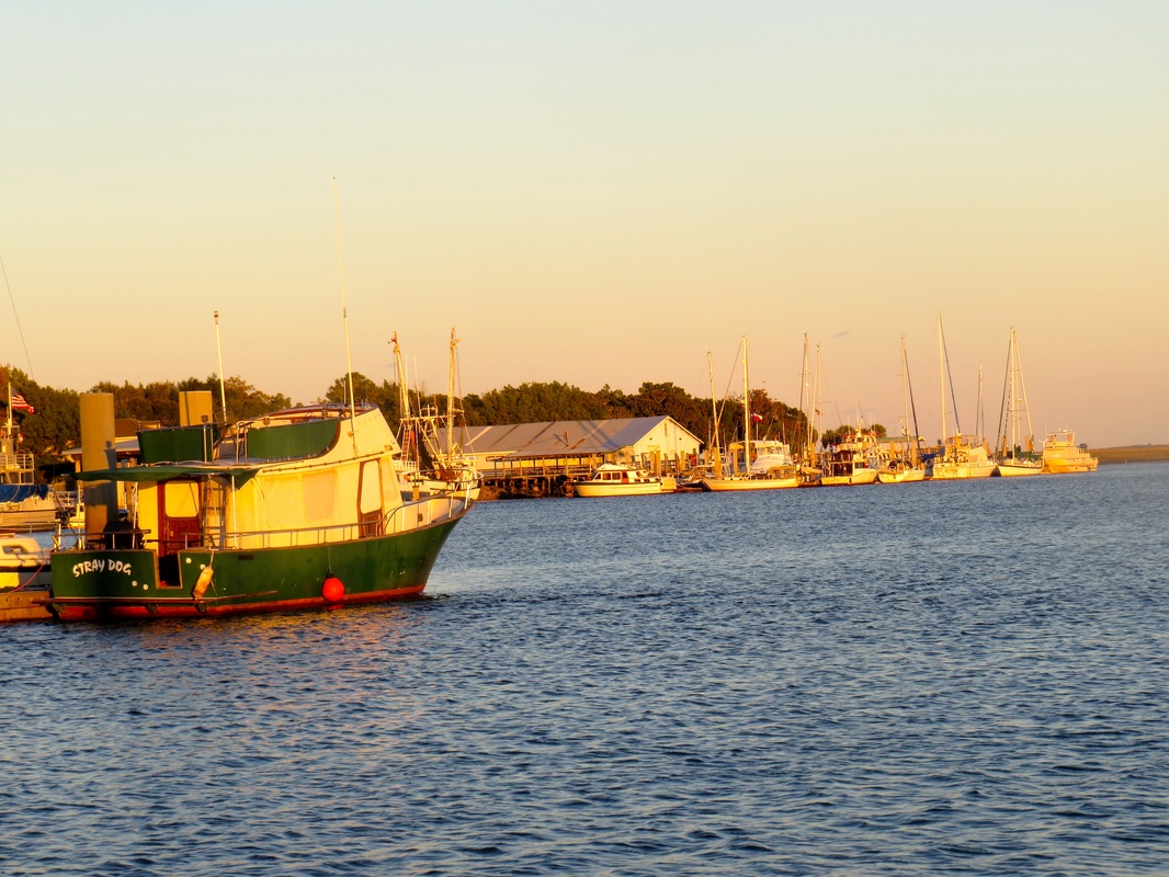
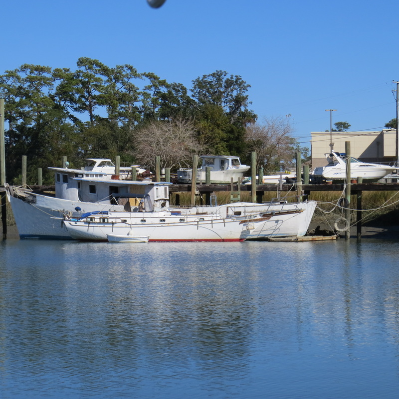
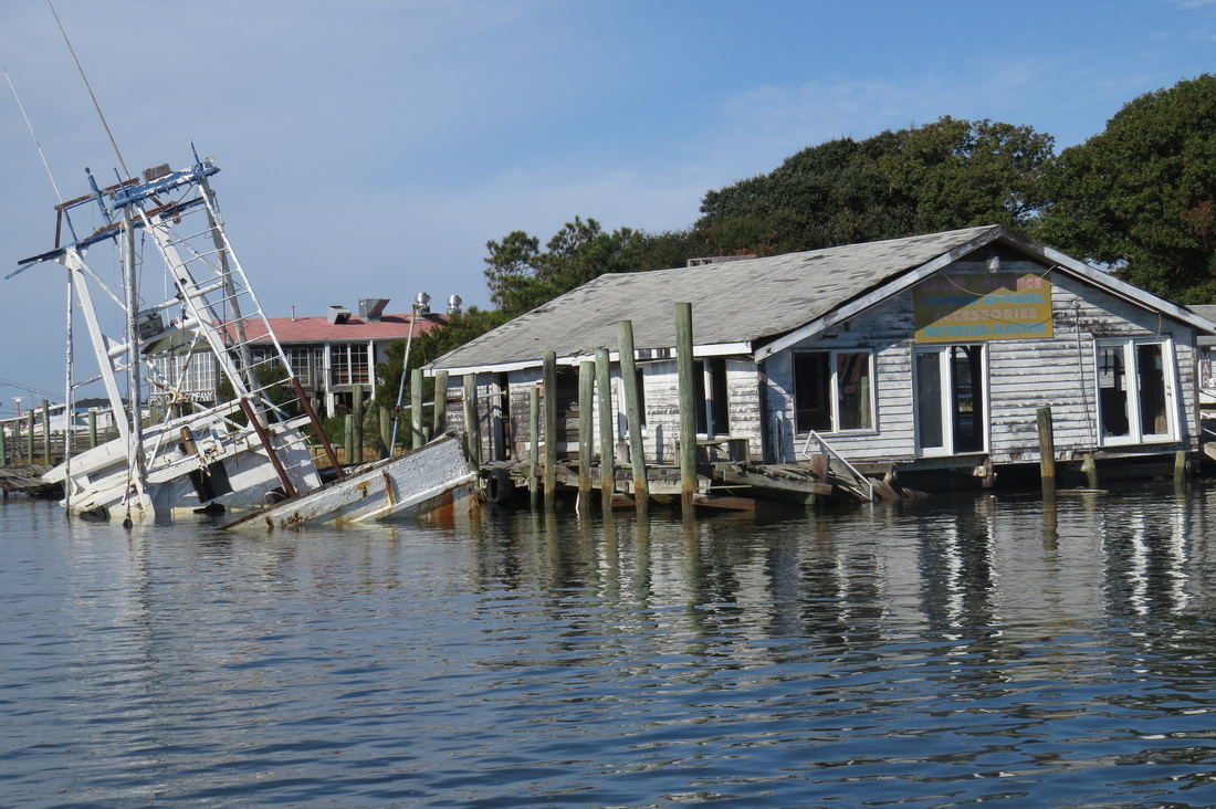
There are more and more abandoned boats on the waterway.
Picture
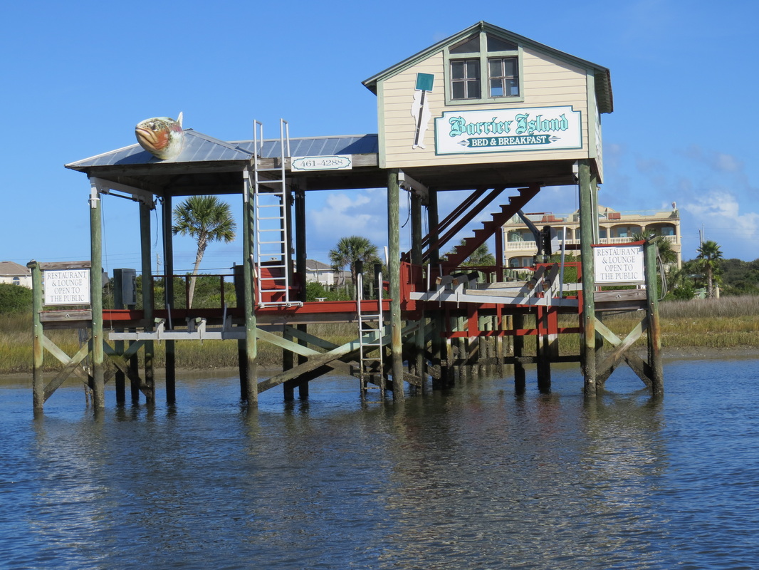
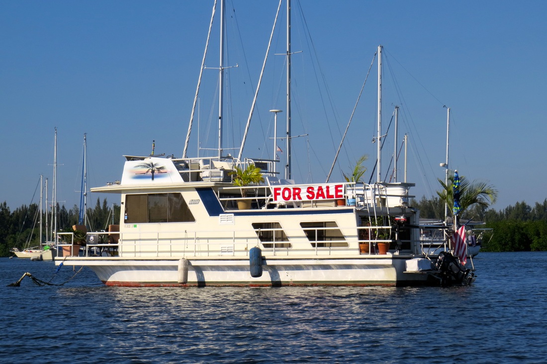
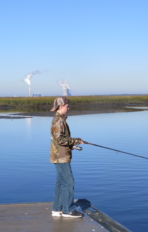
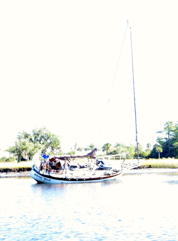
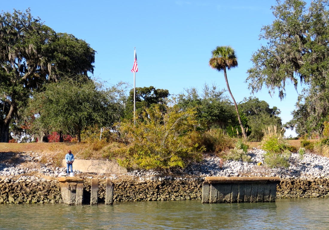
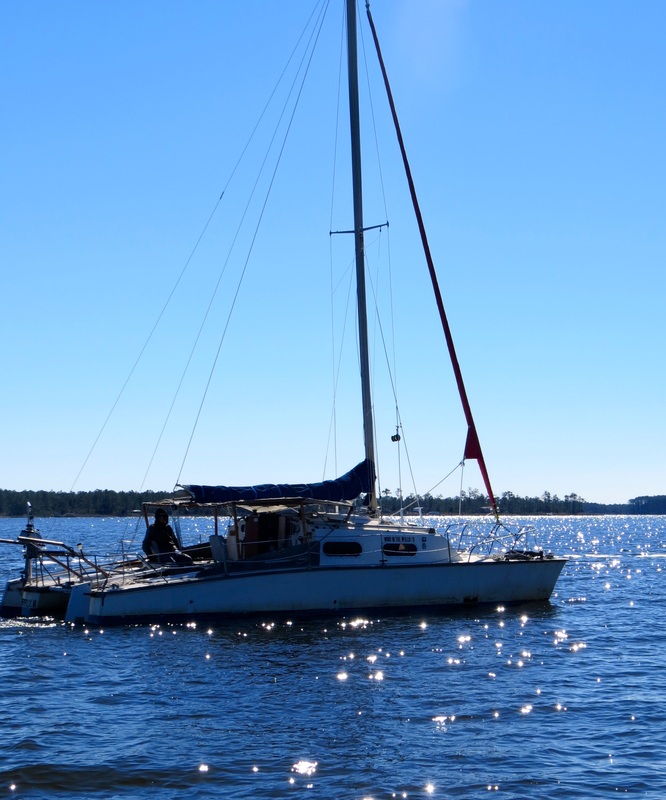
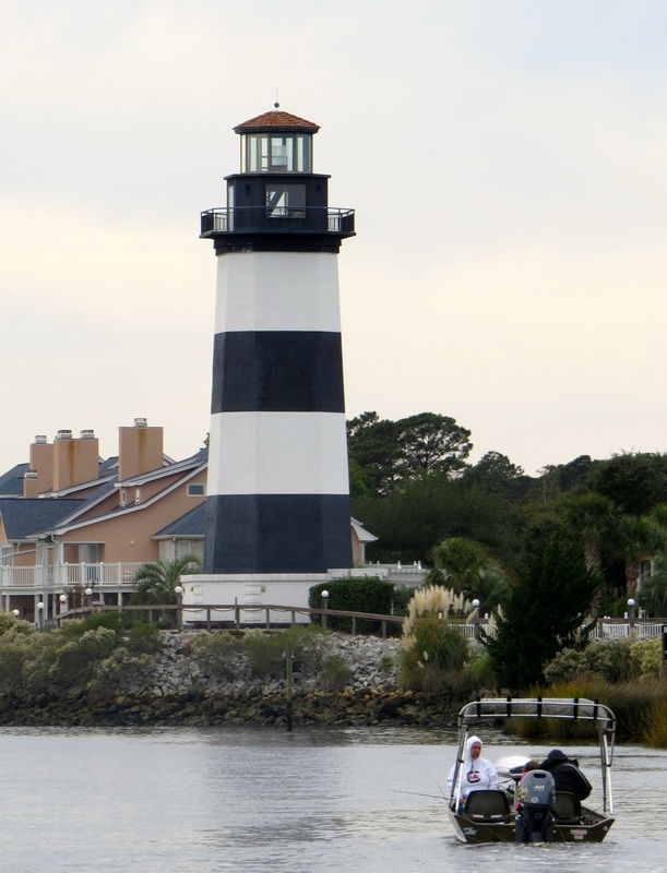
Interesting offer to stay and do some fishing.
Picture
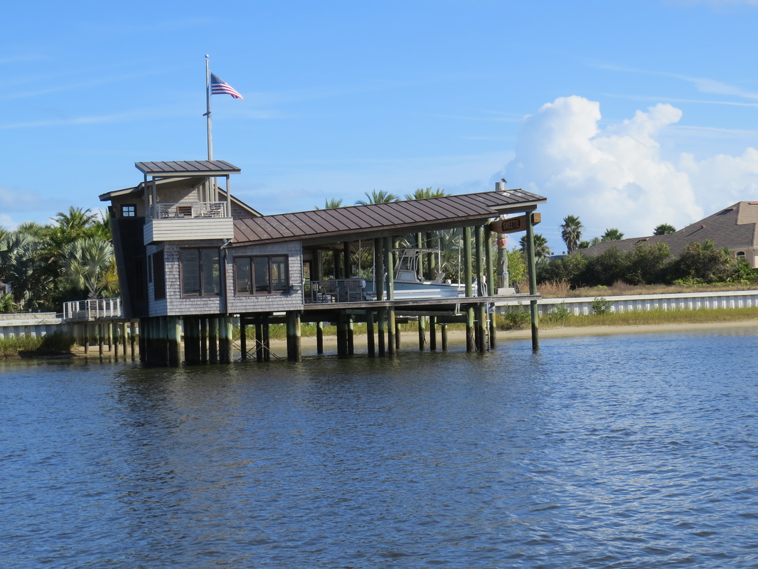
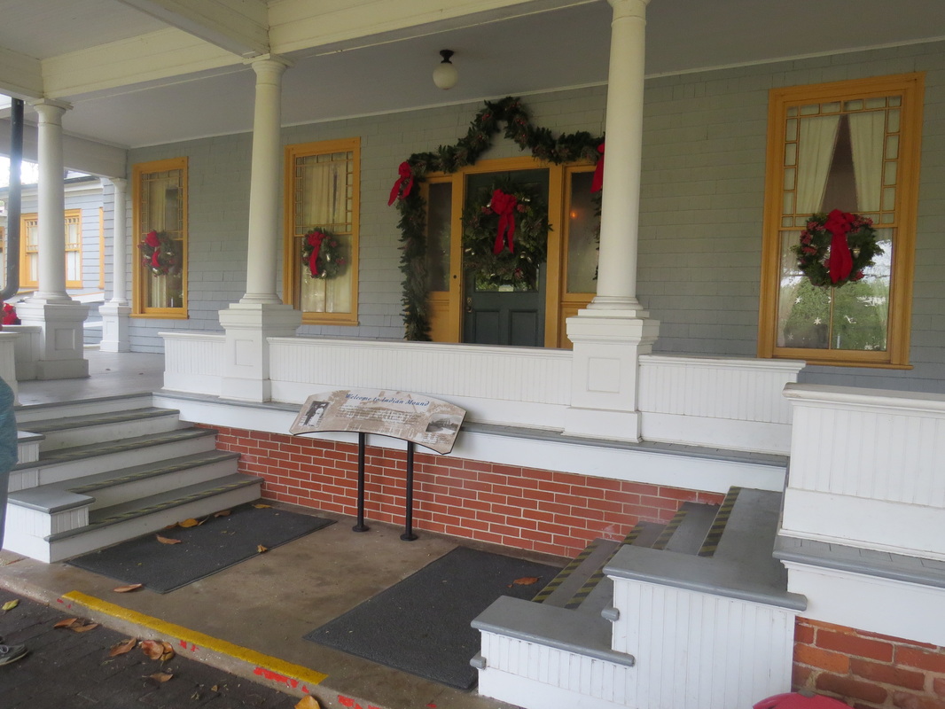
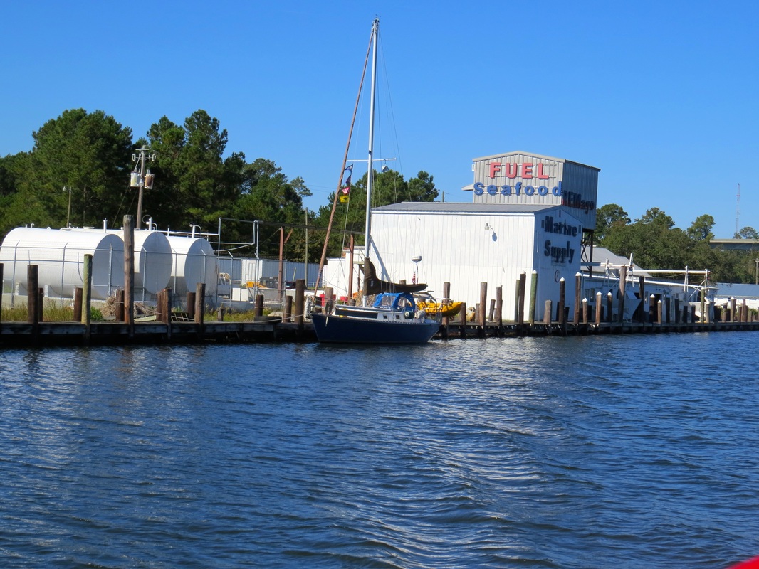
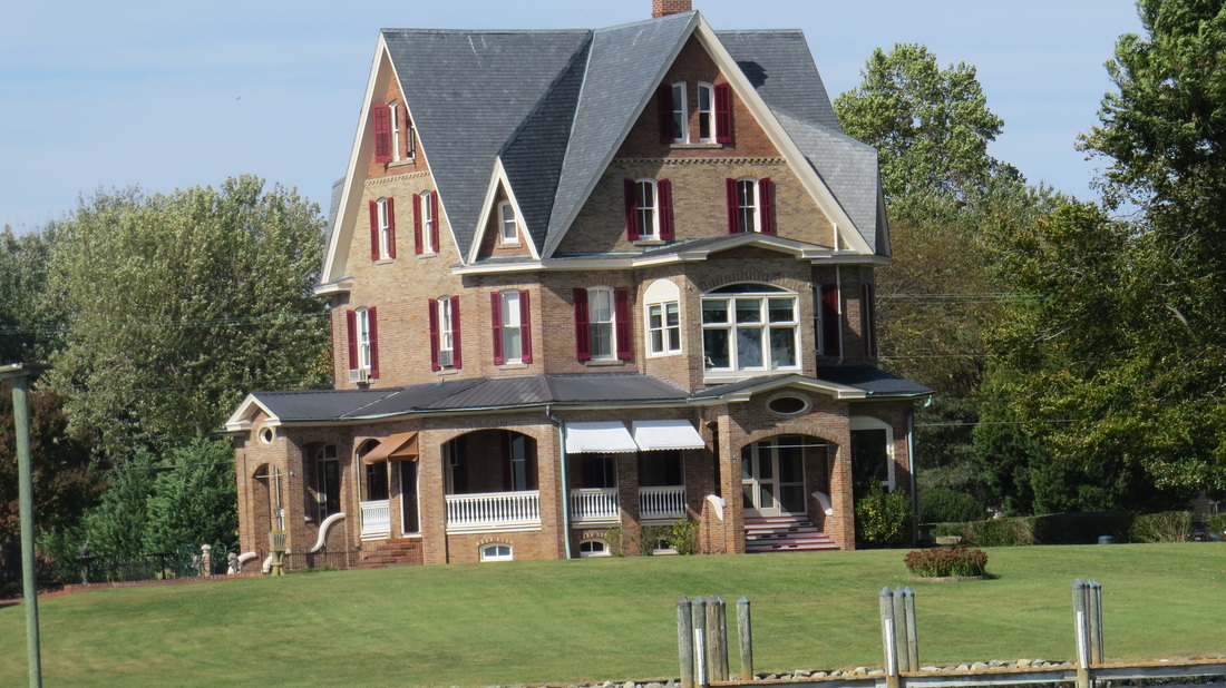
This is a boat house, we could see the interesting house behind it but couldn't get a shot.
Picture
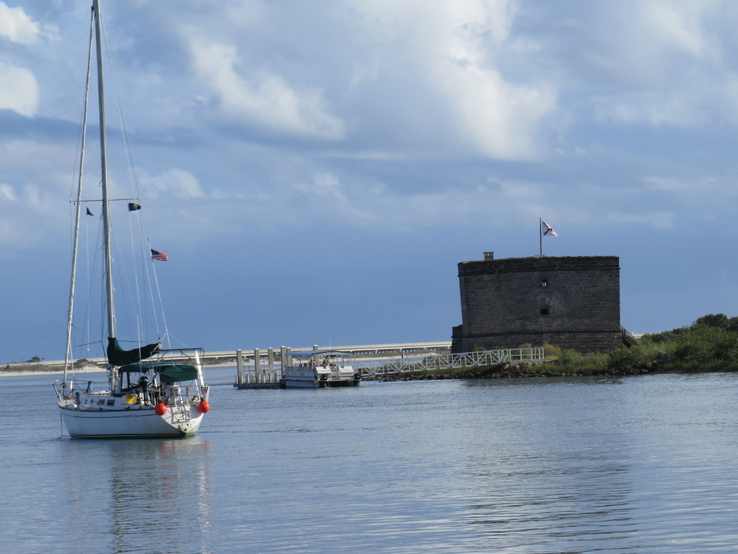
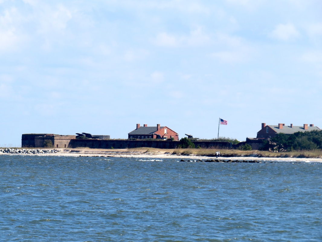
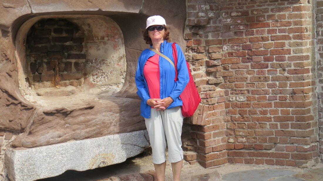
Fort Mantanzas, an old Spanish fort built in the late 1600's. We spent a night at anchor here on the Mantanzas River Inlet. Very strong current.
Picture
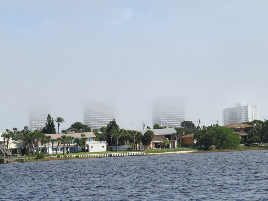
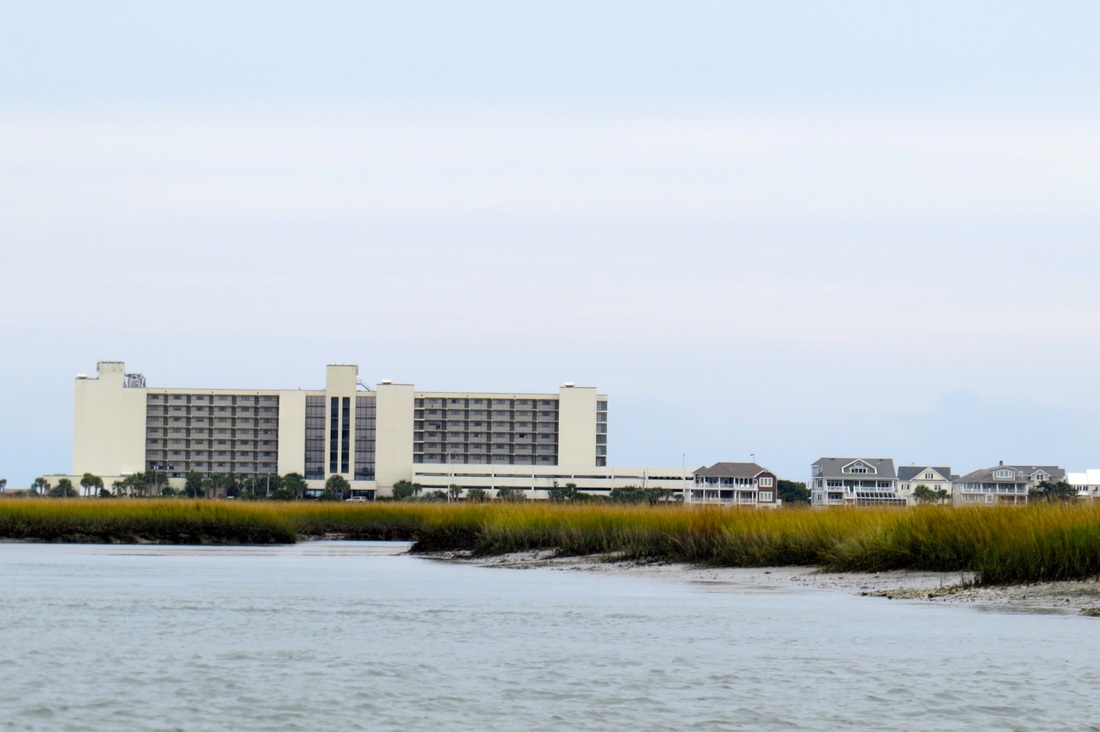
Passing by Daytona Beach, very foggy that day so we couldn't see much.
Picture
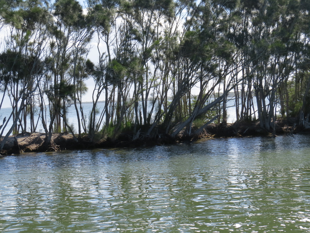
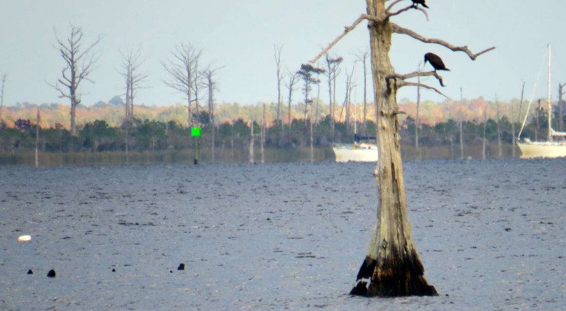
Dredging spoil along the waterway cuts. Pines and other trees grow up along these banks.
Picture
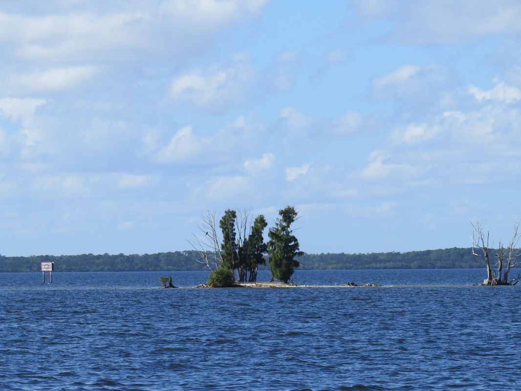
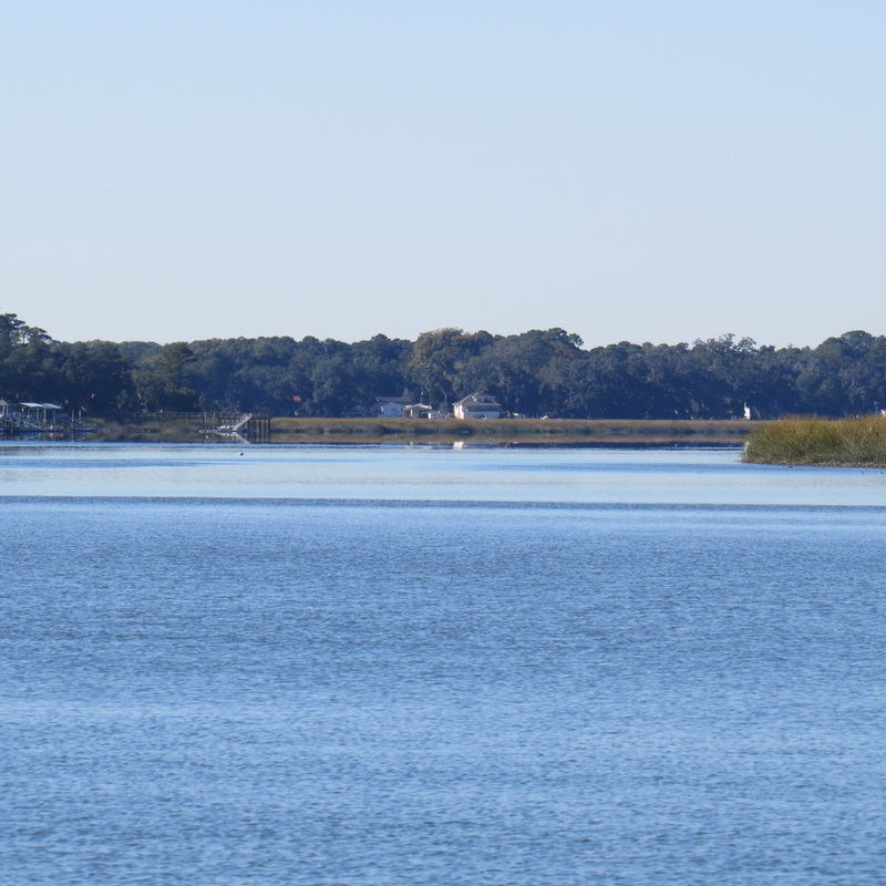
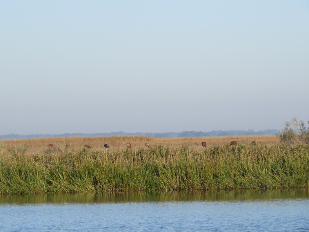
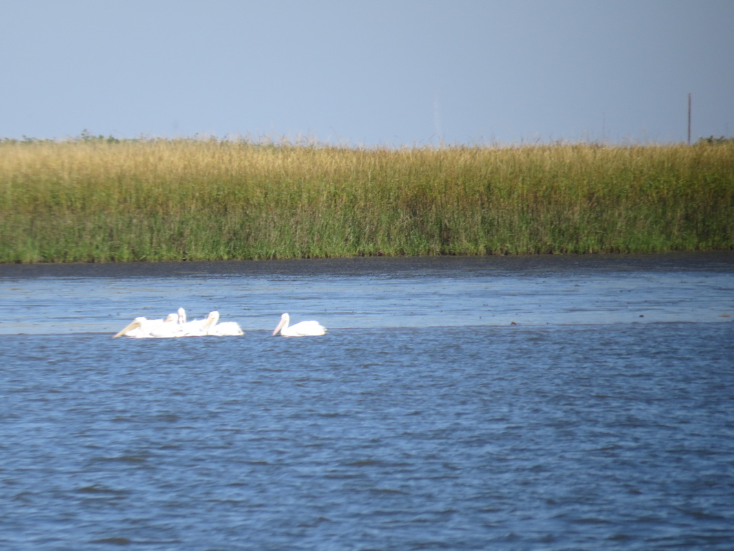
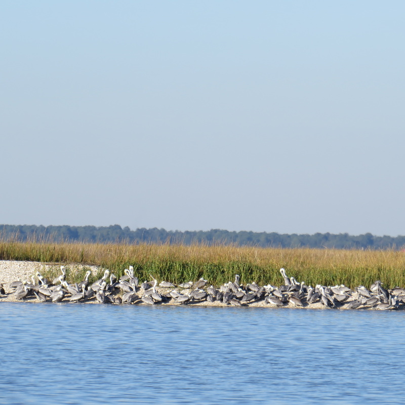
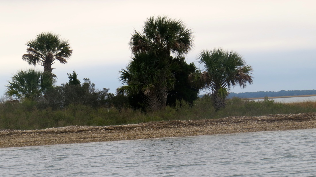
Spoil Islands on the Indian River lagoon. The Indian River is about 150 miles long and extends from around Daytona to Stuart.
Picture
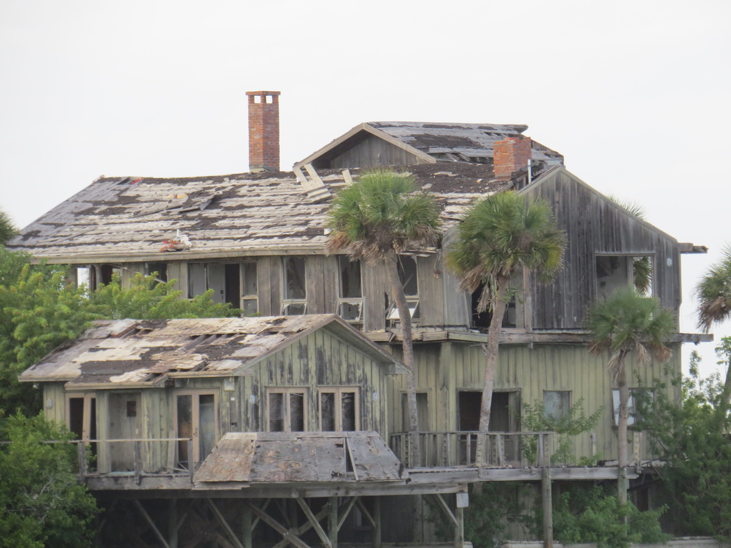
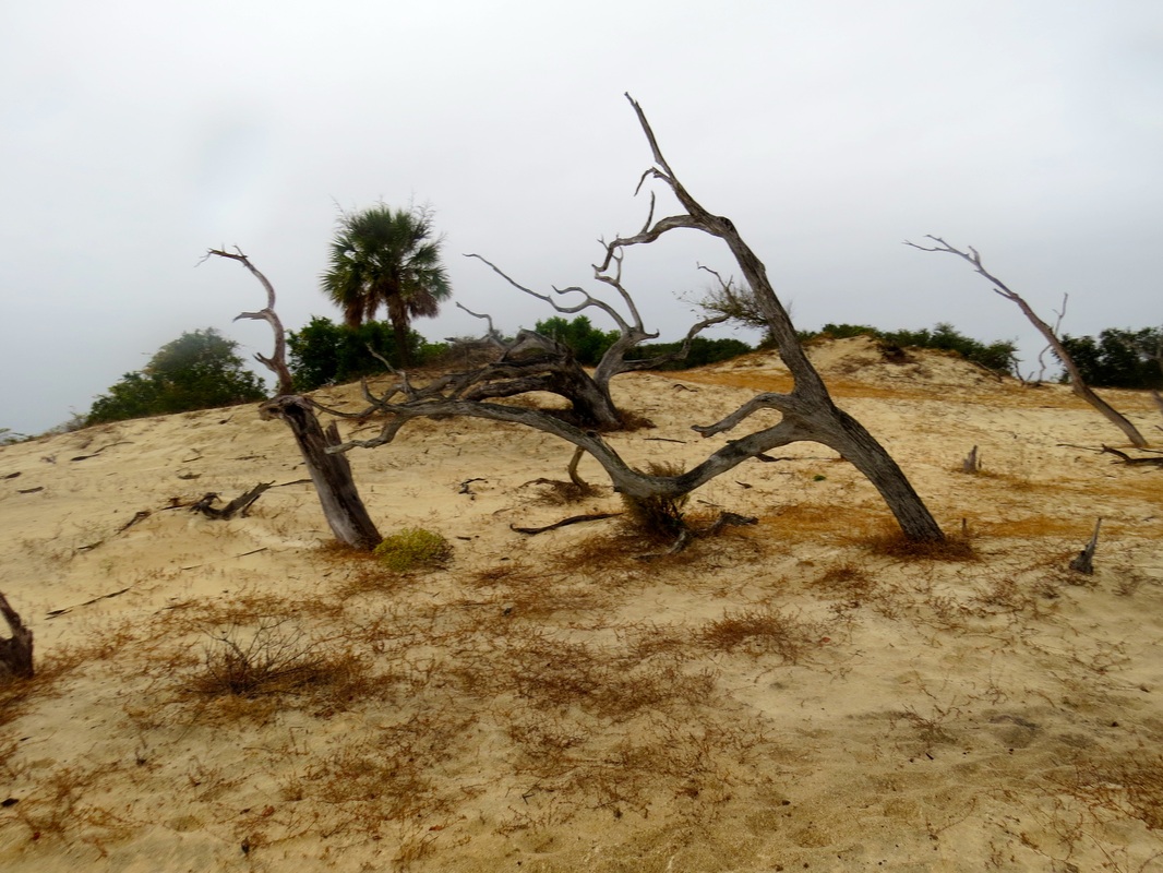
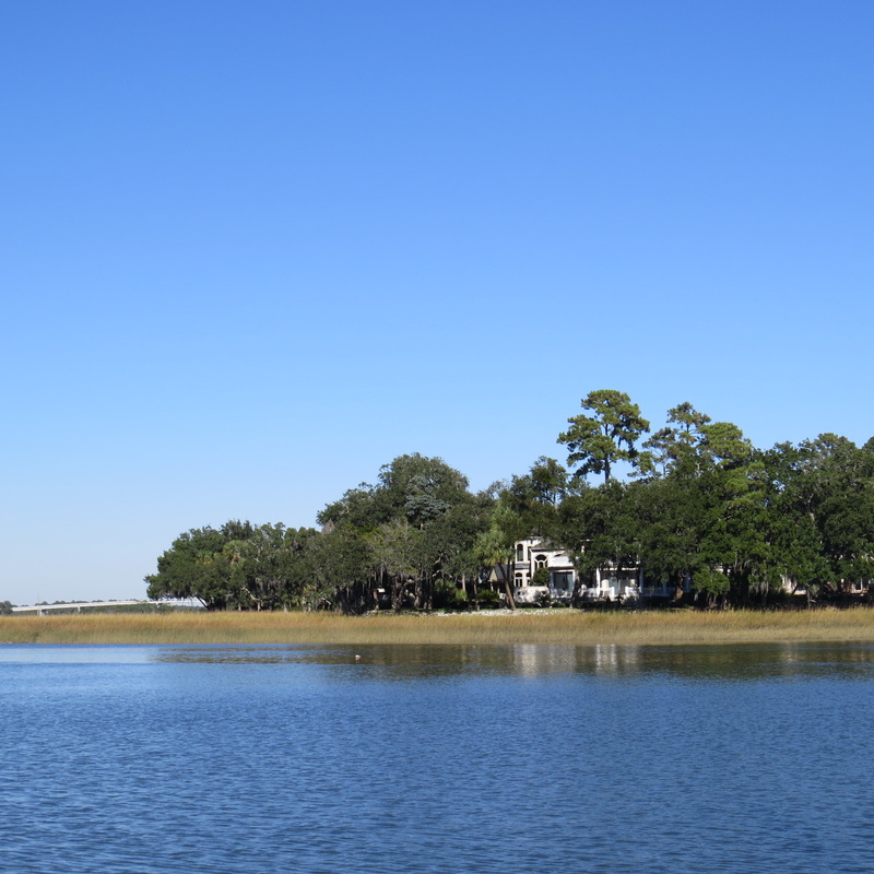
Victim of a hurricane, and left to the bank. At Dragon's Point, on Merrit Island, near Eau Gallie Bridge.
Picture
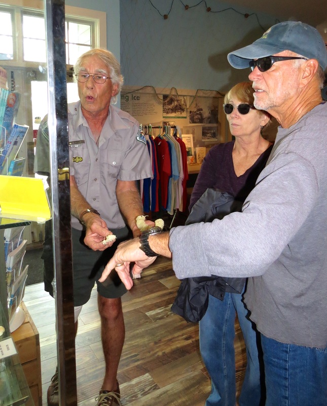
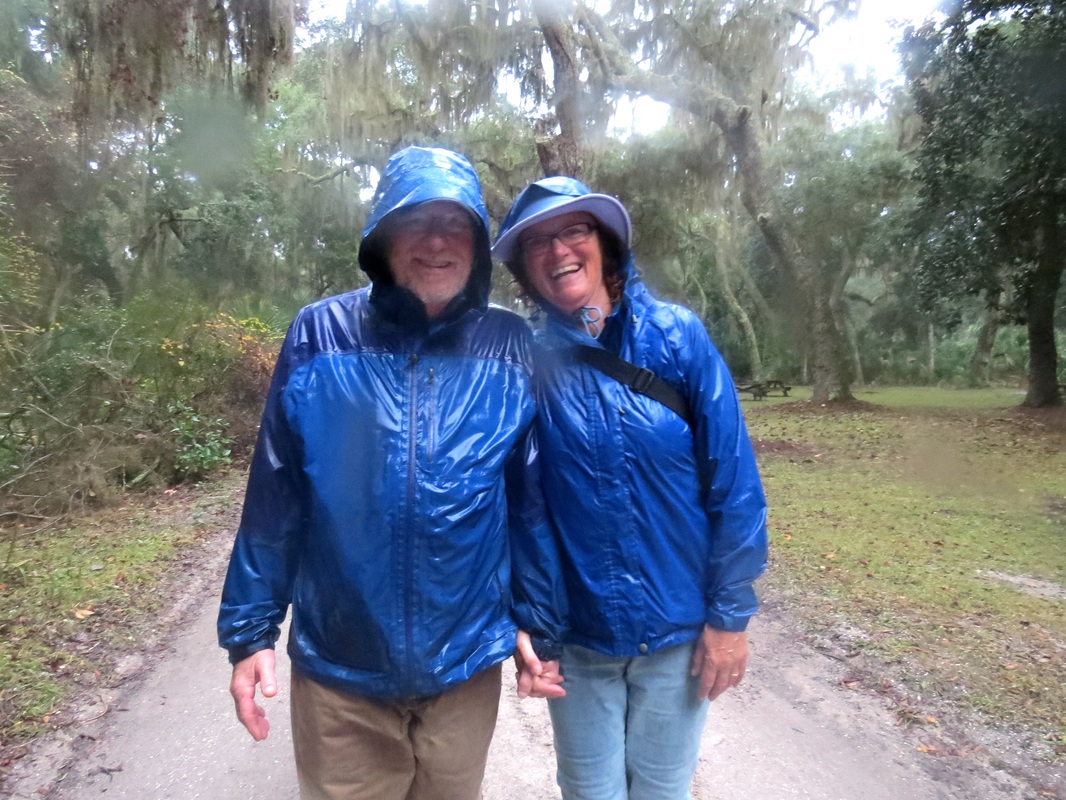
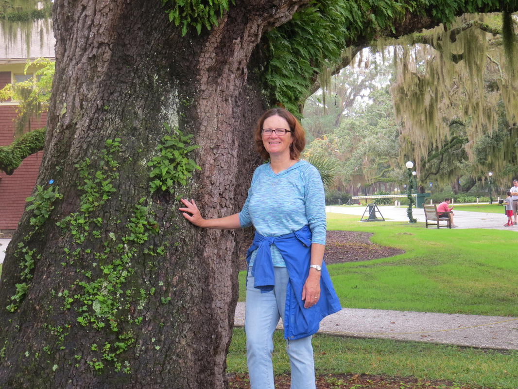
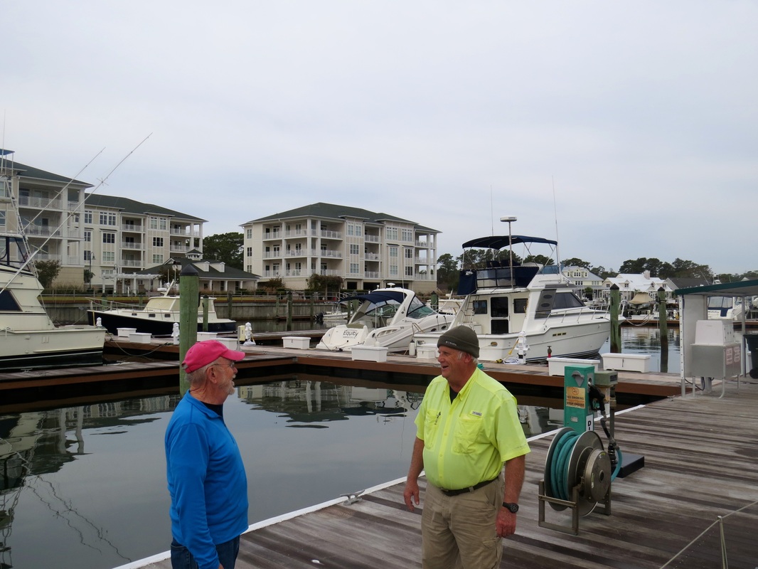
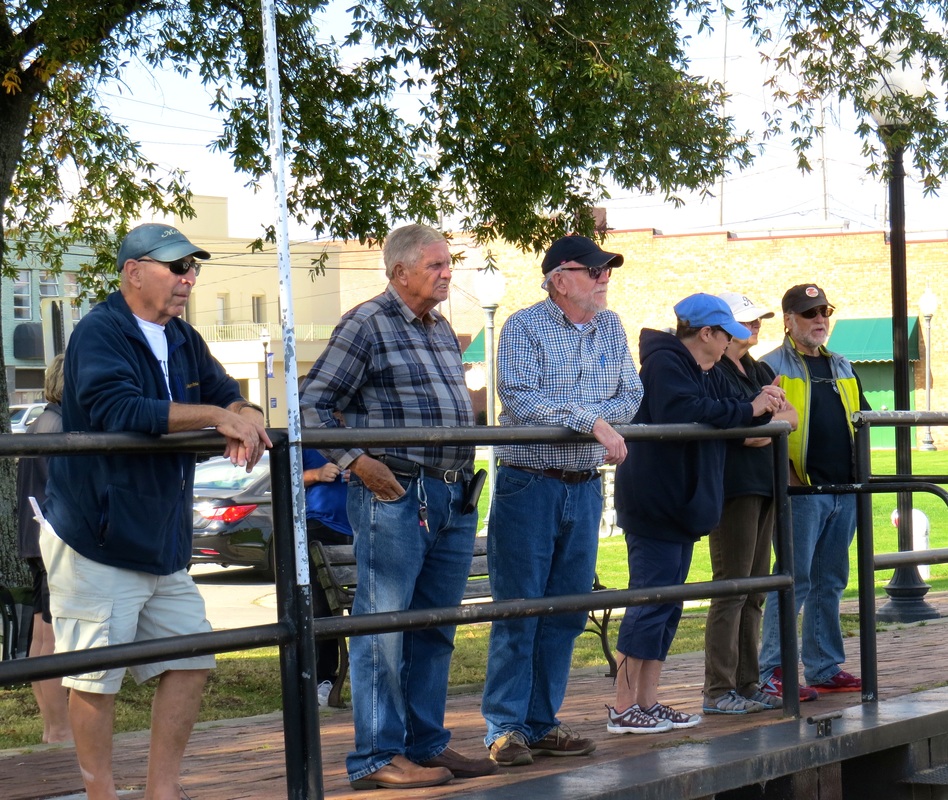
Prill and Steve listen to the exuberant Volunteer Ranger at The Sebastion Inlet Fishing Museum taking about seashells.
Picture
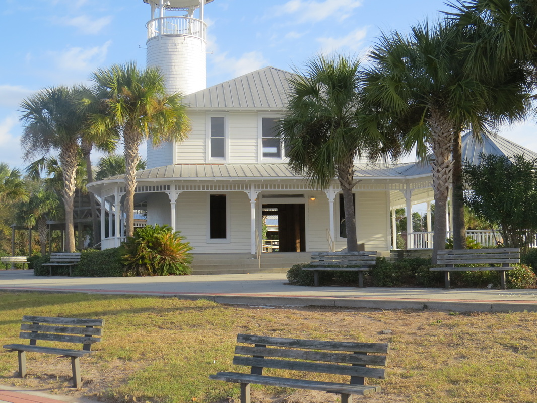
The City of Melbourn had a nice public dock that we used to dingy to, to visit our friends, Steve and Prill.
Picture
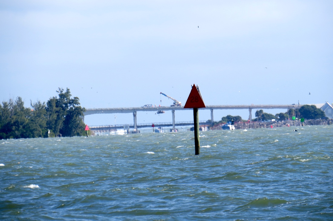
A high current area on the Indian River Lagoon. For the most part, the currents, which for the most part, were with us, weren't to strong on the sail from Melbourn to Vero Beach.
Picture
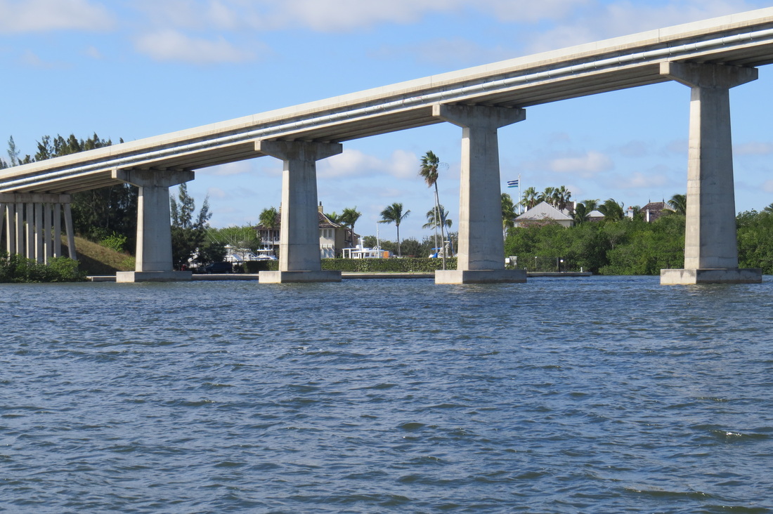
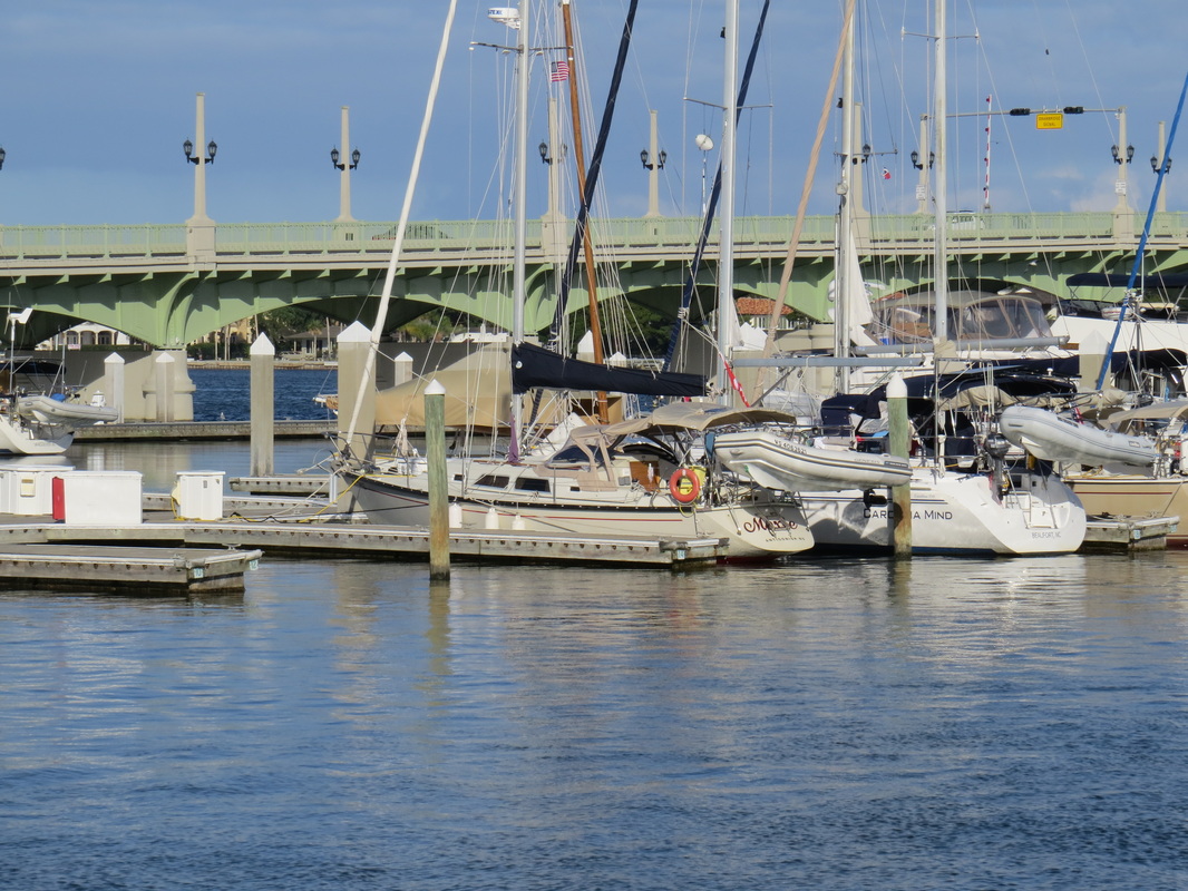
Bridge before Vero Beach anchorage.
Picture
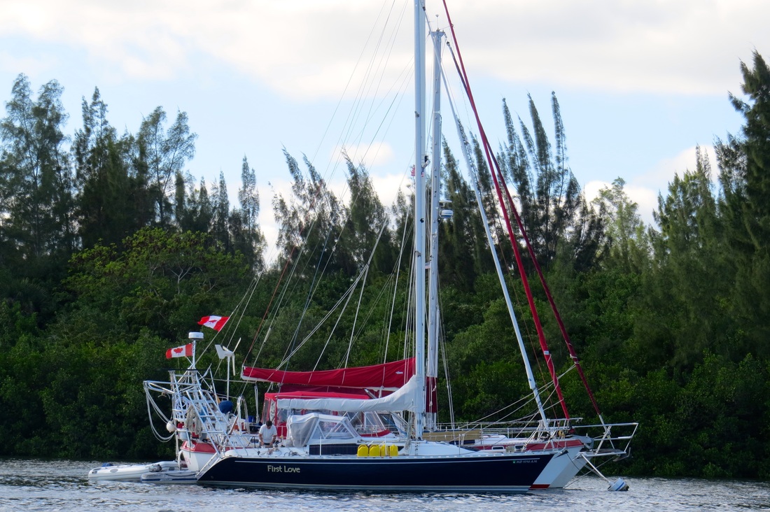
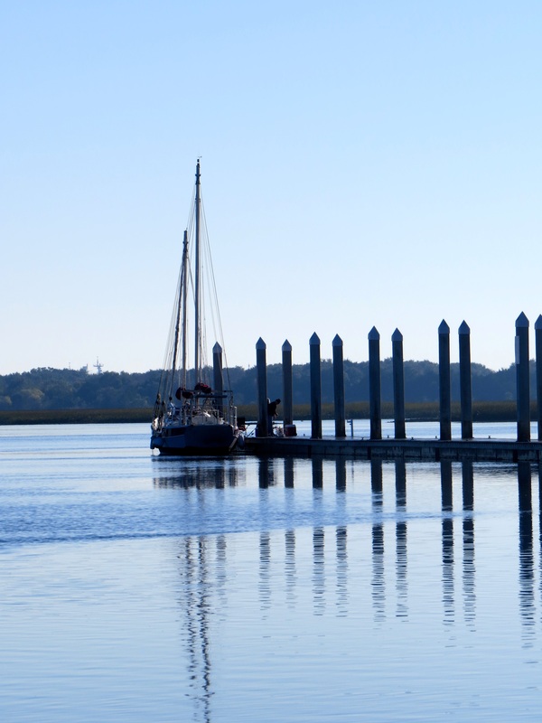
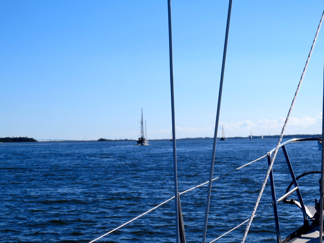
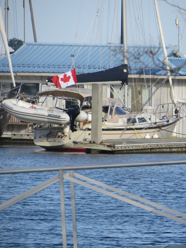
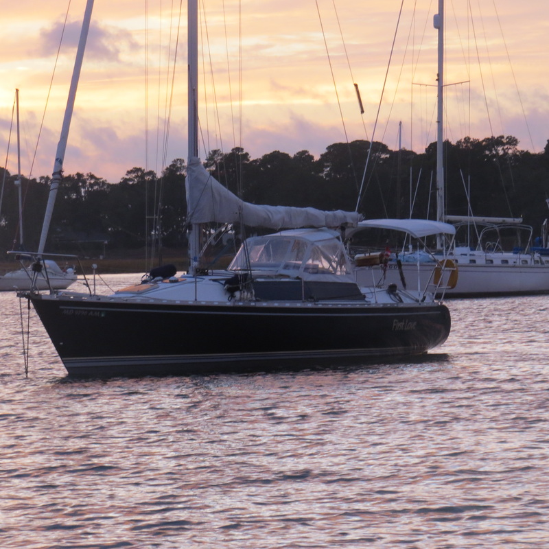
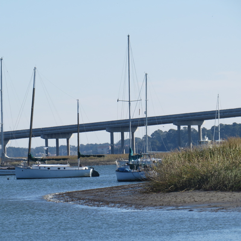
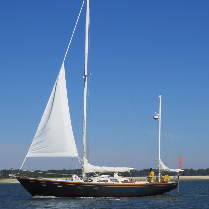
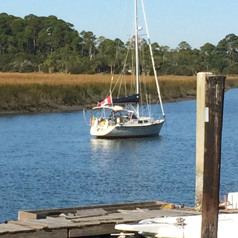
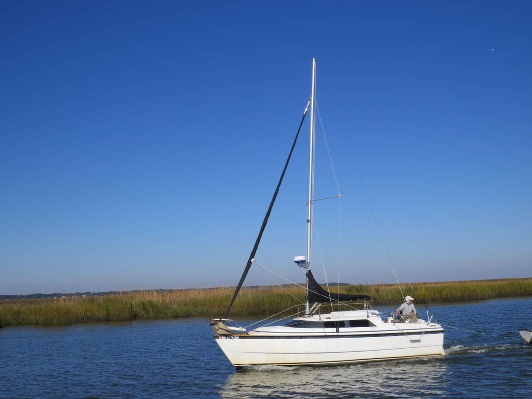
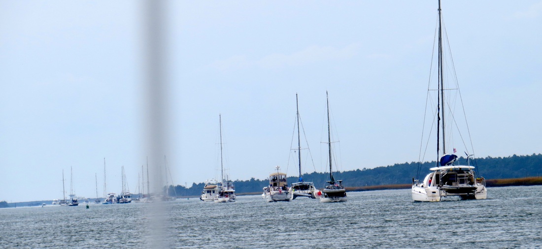
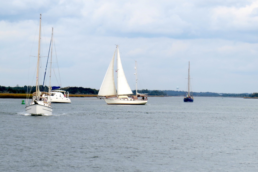
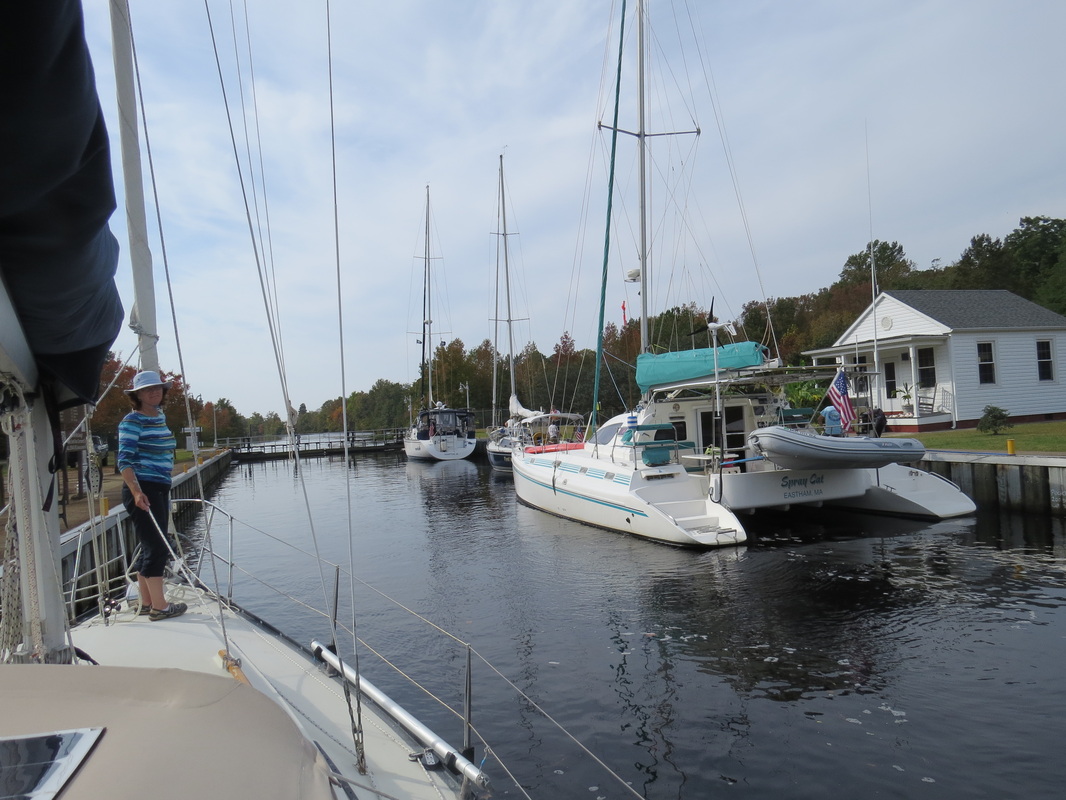
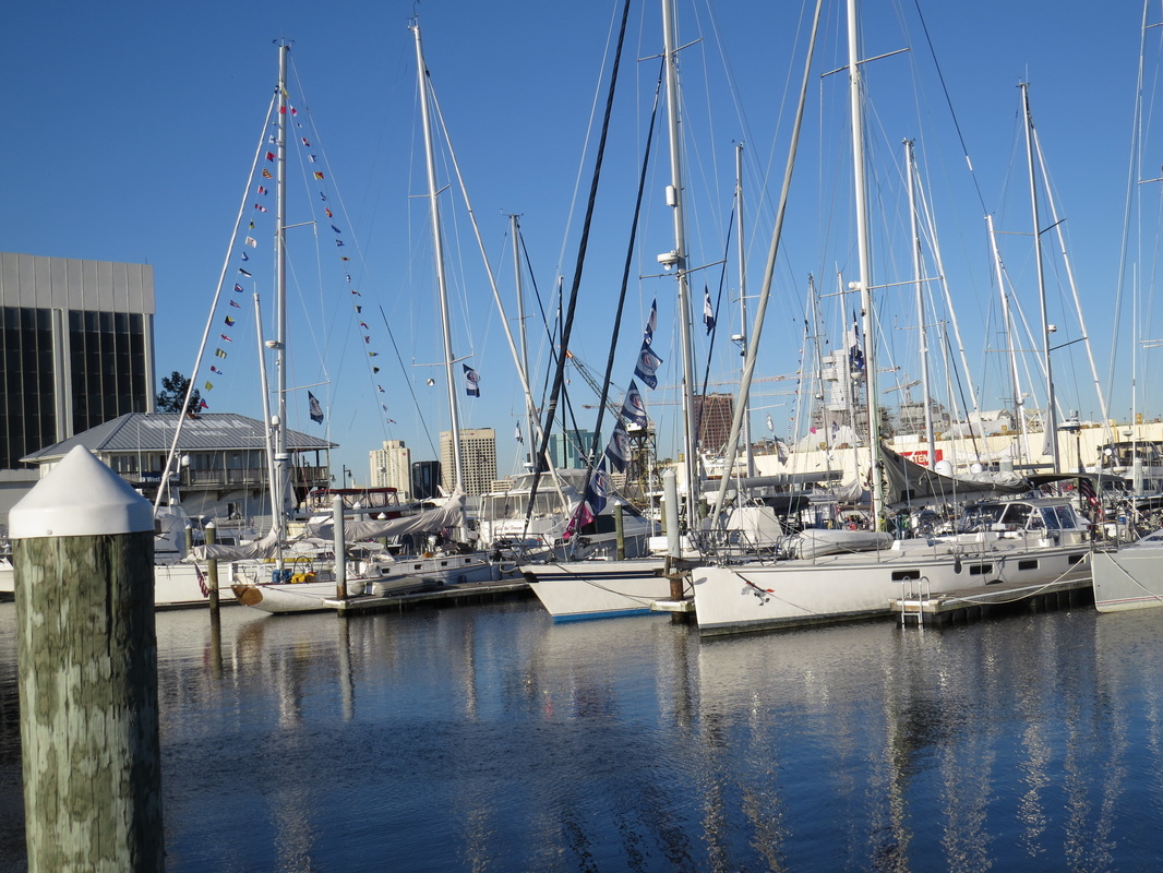
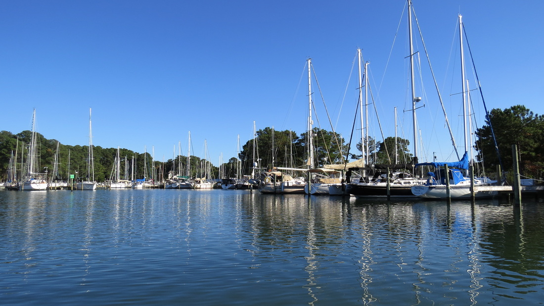
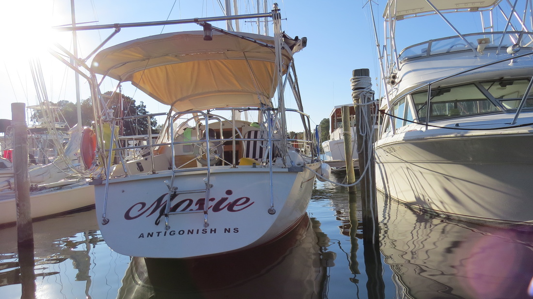
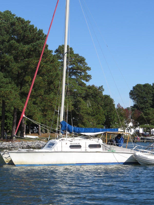
S/V First Love, getting ready to cross to the Abacos, rafted with 2 of many Canadian boats, at Vero Beach.
Picture
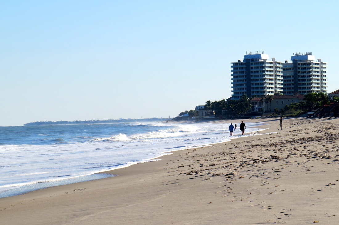
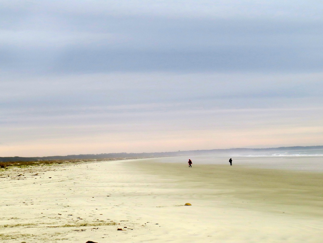
The Atlantic Ocean at Vero Beach.
Picture
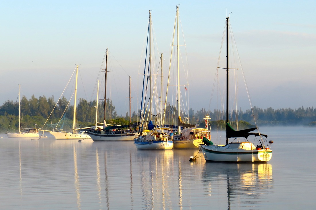
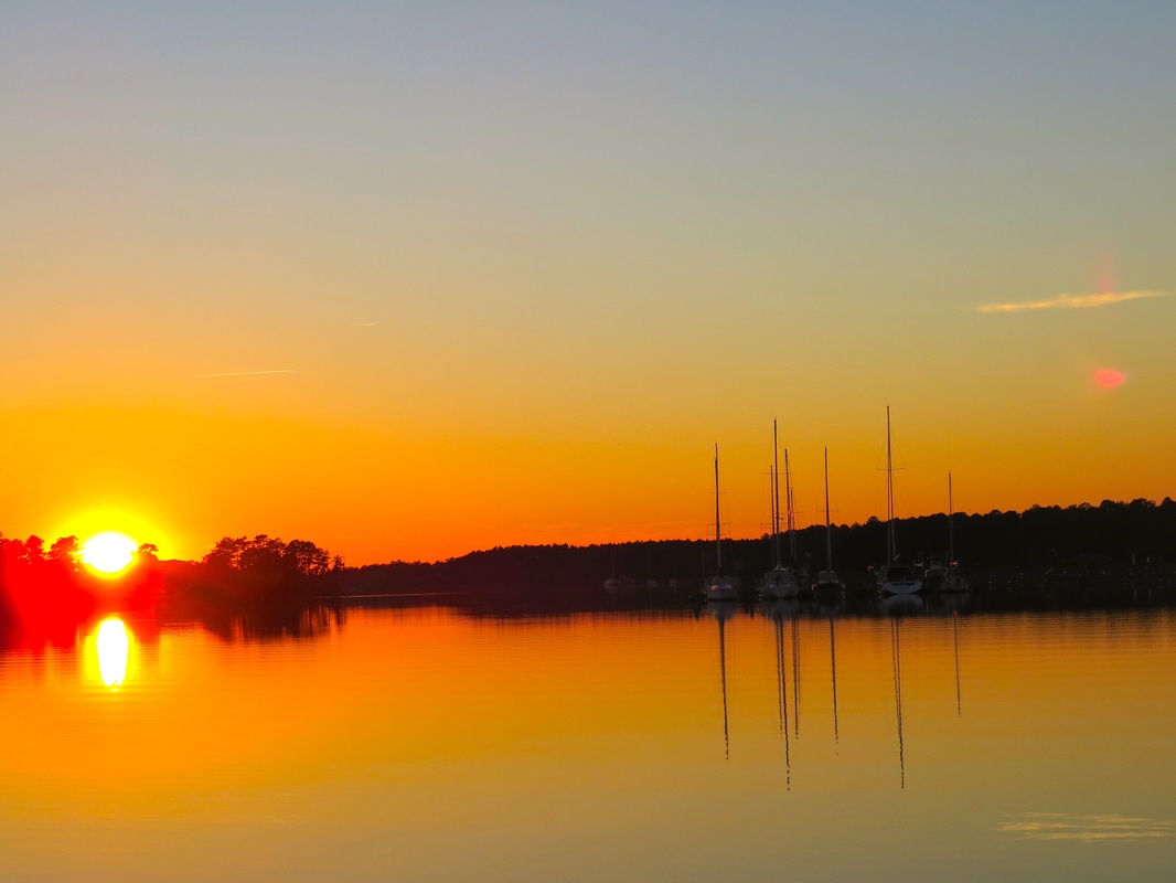
Early morning at Vero Beach Anchorage.
Picture
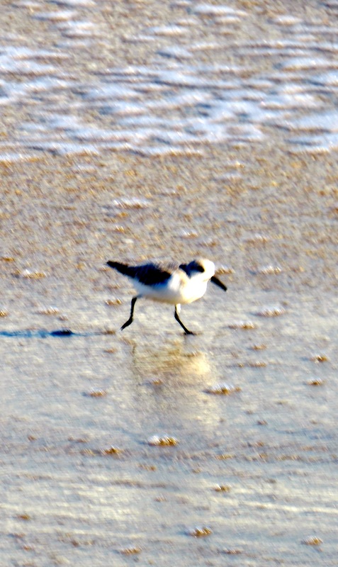
Tiny shore bird on the Atlantic beach, Vero Beach.
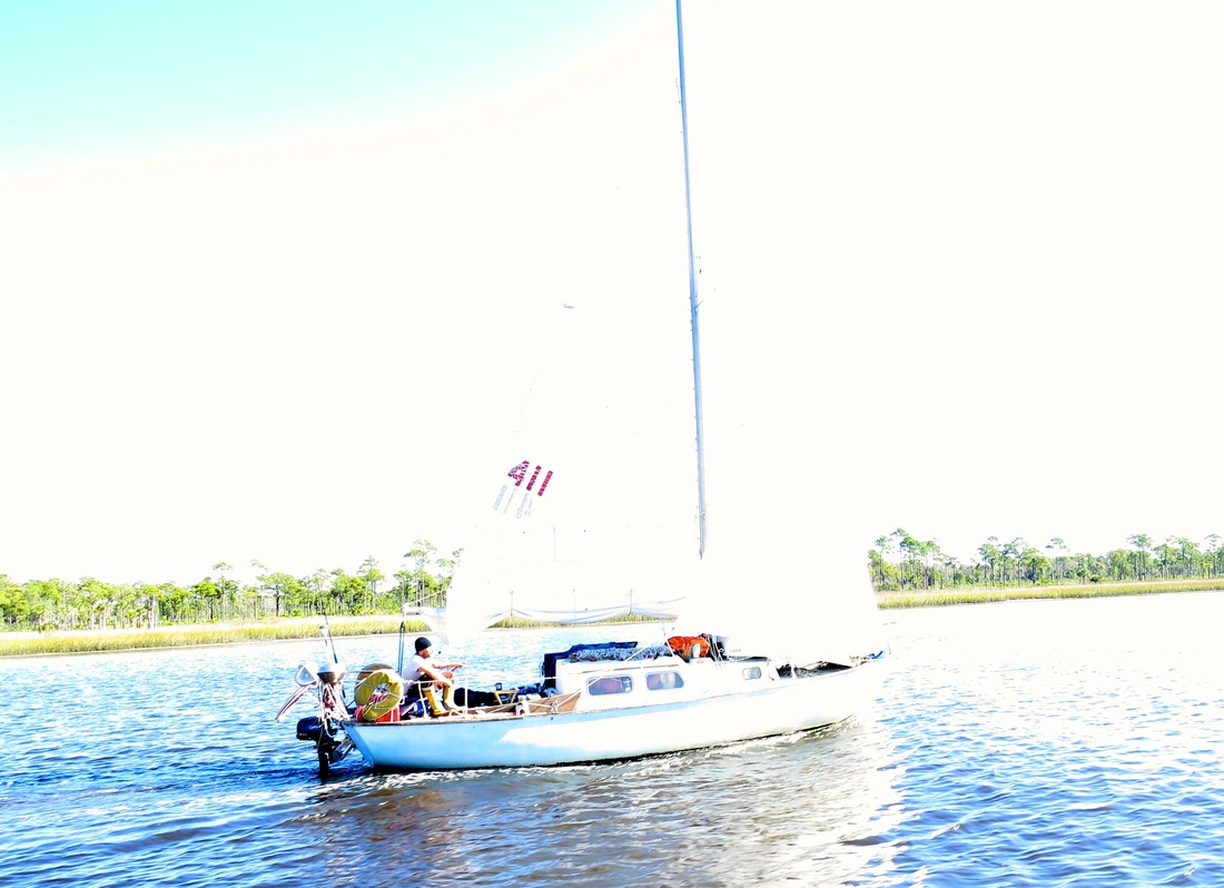
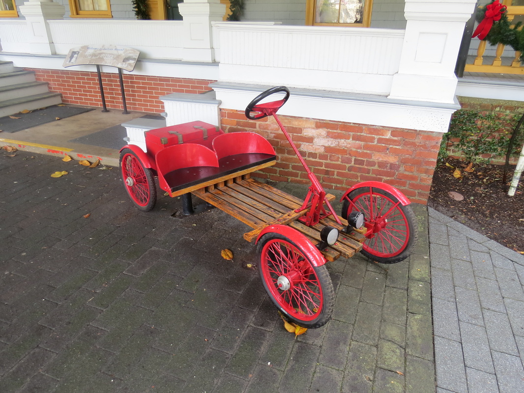
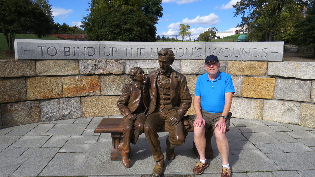
Picture
Any Takers?
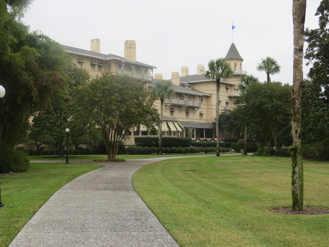
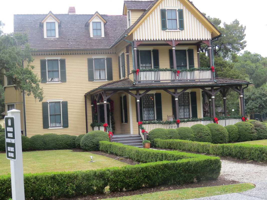
Fort Matanzas is not far from St. Augustine’s, by the time we were pumped out and topped up the tide was ok to set off, and we had sun and heat! Our next anchorage was near a National Monument  site , but we did not visit the Fort  Mantanzas on “Rattlesnake Island” a small ferry takes folks there for free, but the current was super strong, so we were not tempted to dingy there. The next day was very foggy, we passed Daytona Beach (Highrise City) with the tide in our favour and kept on going to Rockhouse Creek, an anchorage close to the Ponce de Leon Inlet. With no sign of the NASA rocket launch we set off to Titusville, going across the scenic Indian River and into the NASA Restricted area, we found out that the launch had been delayed, so we called Arch and Anne Chisholm (The Accidental RV’ers) who were still in the area, staying at a near-by RV park with lots of other Space Launch enthusiasts. Luckily we caught up with them in time for a visit, and even better, they came and picked us up for some shopping and dinner at their  place. It was fun to catch up with them and trade travel tales, and the shrimp dinner was delishes! Looking forward to spending time at Xmas with them at Lake Okeechobee. The next morning being overcast, we heard, but did not see the Orian rocket launch even though we were less than 10 miles from Cape Canaveral.

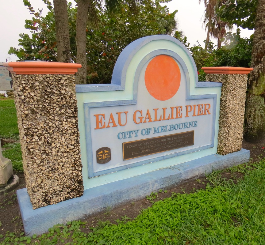
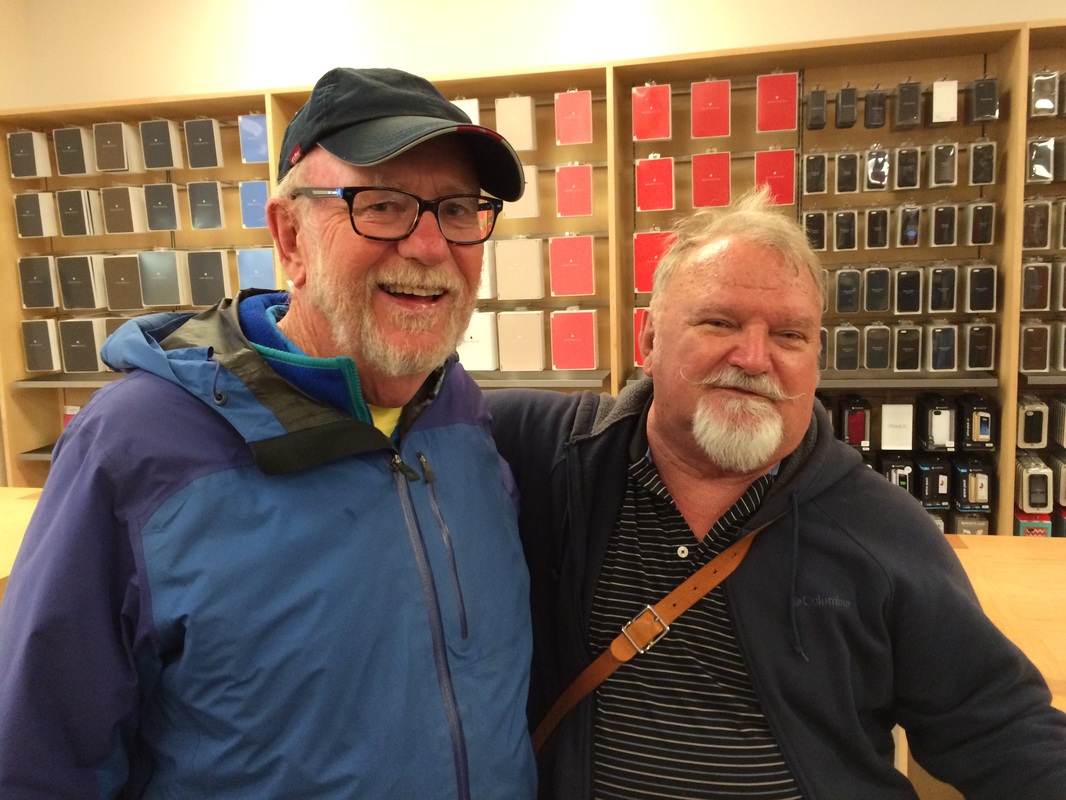
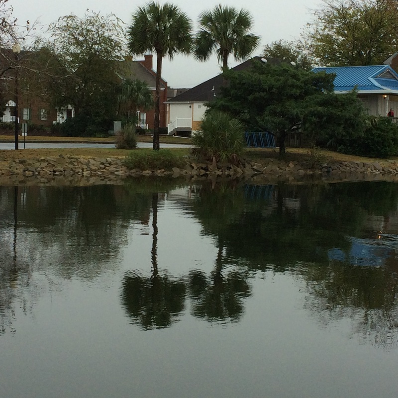
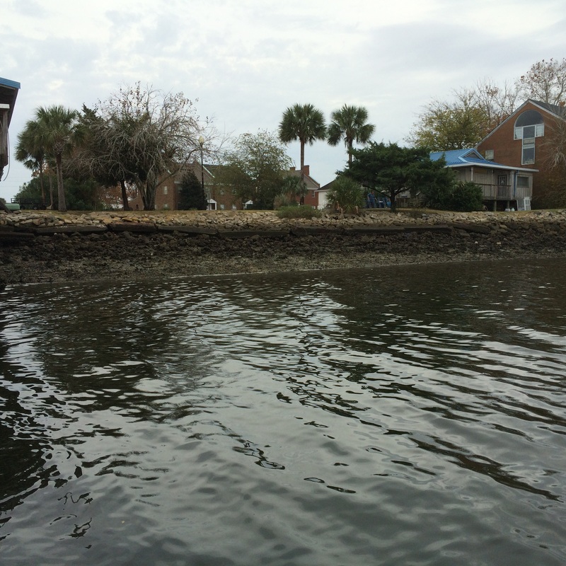
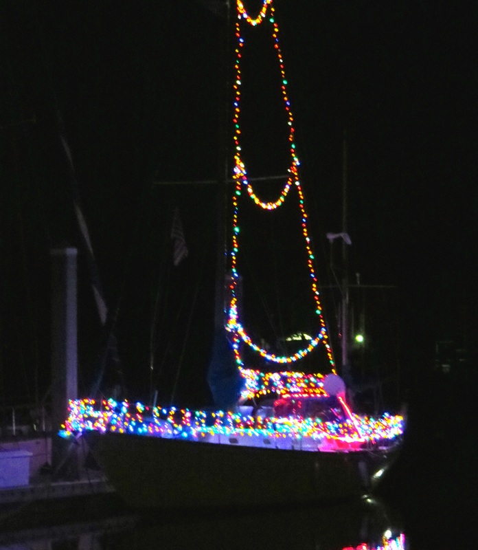
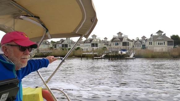
S/V Moxie pushed on close to Melbourne, FL, where our friends Moira and Eddie have just passed though on their way to Fernandina Beach to crew on S/V Life of Riley, we hope to catch up with them soon, in the mean-time their good pals (whom we met at our home port in NS), Steve and Prill, live here. It just so happened that we anchored just across the Indian River Lagoon from where they live. Our evening at ‘Dragon’s Point’ was a novelty for us: sitting out in the warmth with lots of festive lights all around us! The next day, we crossed the Indian River Lagoon and  had a tour of Eau Gallie (a unique artsy section of Melbourne, FL), with Steve and Prill, great ambassadors for this region. We had lunch with them at “Squid Lips” and then (we had the use of Moira’s Mercedes) Gerry got a ‘hot spot’ at Verizon.

We provisioned the next day and started stashing stuff under the V-Berth and other nooks and crannies on the boat.

Steve and Prill had us to their beautiful home for a BBQ, what a treat, as was the laundry getting done and the showers- a date was made for breakfast and we ended up doing a tour of the outlying area, spotting at Sebastian Inlet State Park where we had an informative and very enthusiastic volunteer ranger/guide talk to us about fish and shells. We lunched at Sunny Side Up and then parted somewhat reluctantly from our friends’ cozy home out into the wild blue yonder with promises to get together again along with our friends Eddie and Moira.

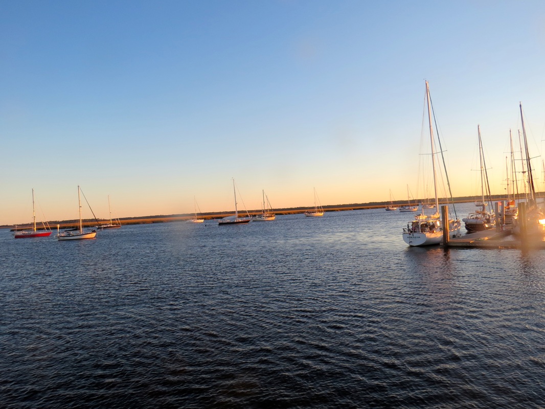
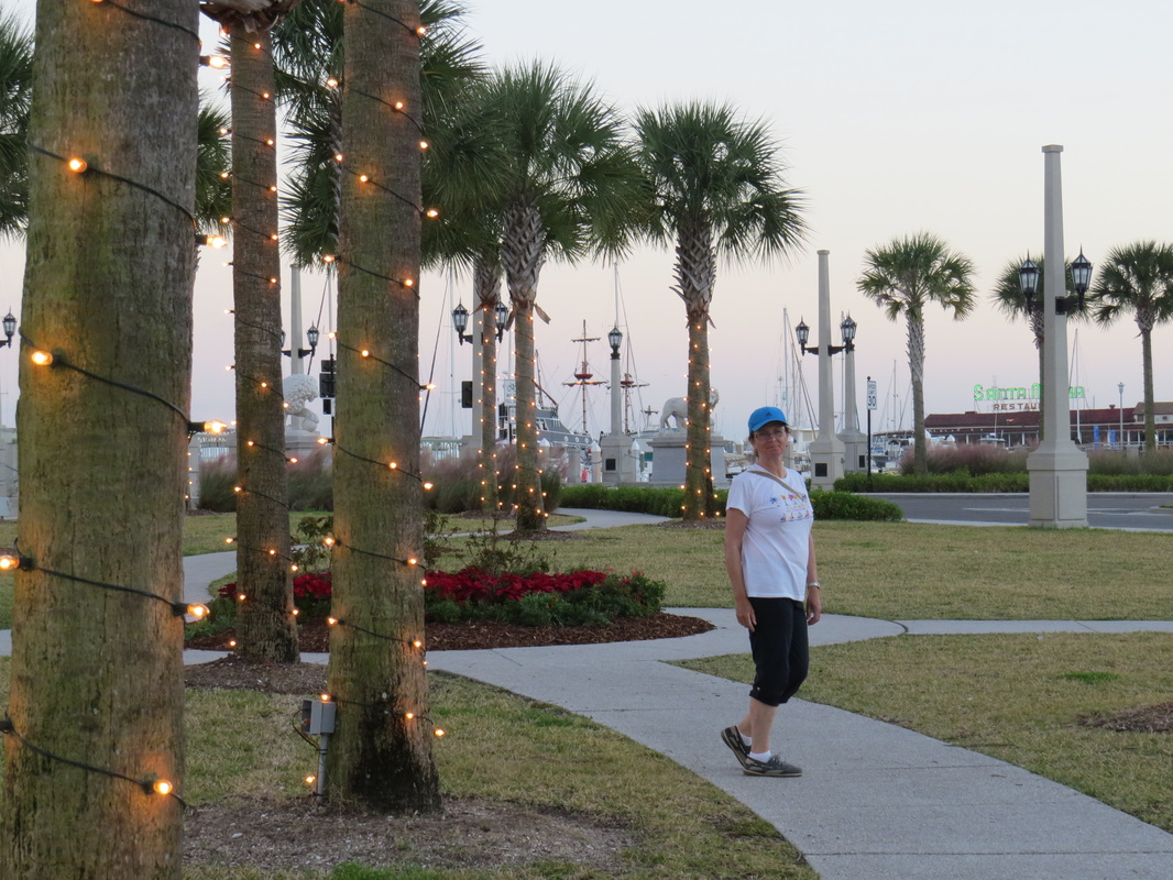
We left the Melbourn area bound for Vero Beach. We ended up staying there for 4 nights as everything is so handy and easily accessible. There were a lot of other Canadians and even a couple of Nova Scotian boats. A beautiful Atlantic Beach was a short walk away from the City Marina, and the free buses ran every hour into town and the shopping areas. We left for Stuart on our way to Okeechobee, and will continue with the that section in the next blog.

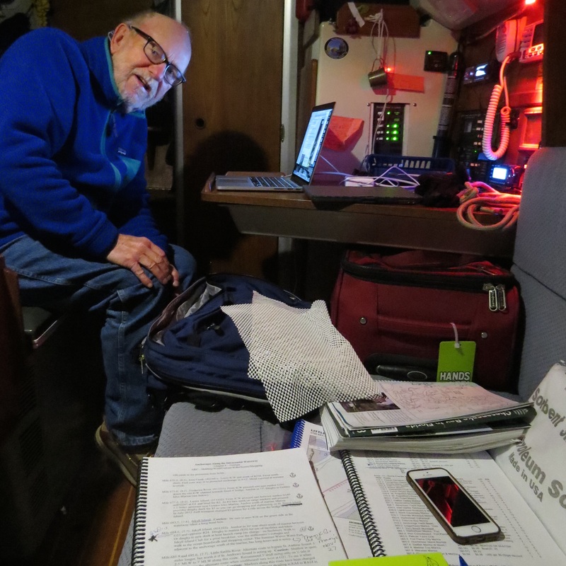
Again, getting to a strong wi-fi area is a challenge. Although Vero had just about everything, a good hot spot was not one of them.


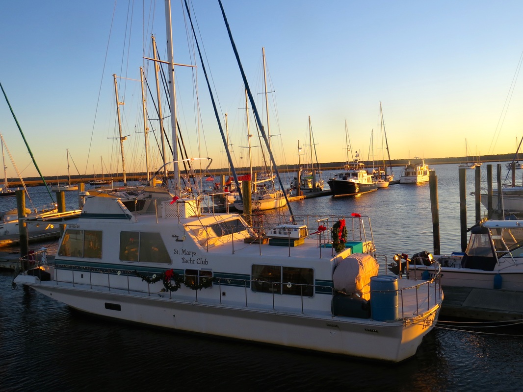
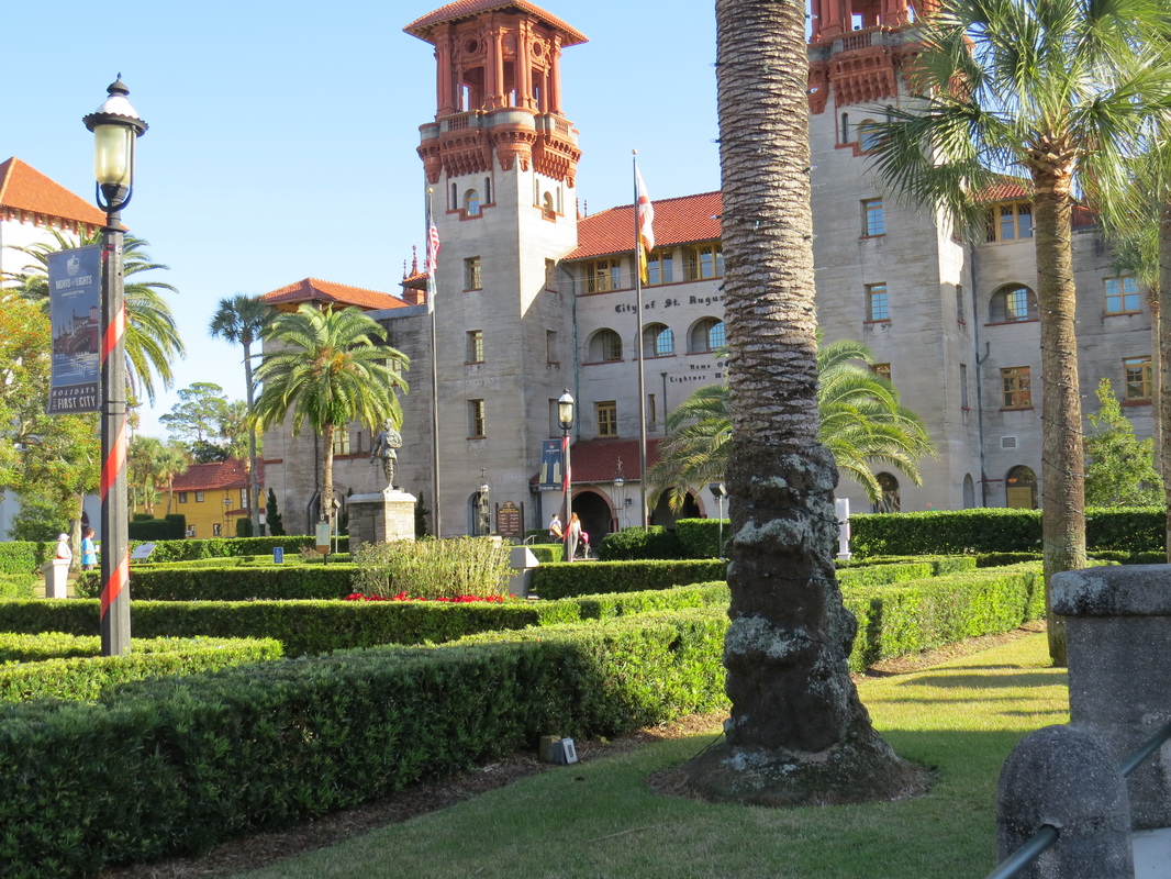
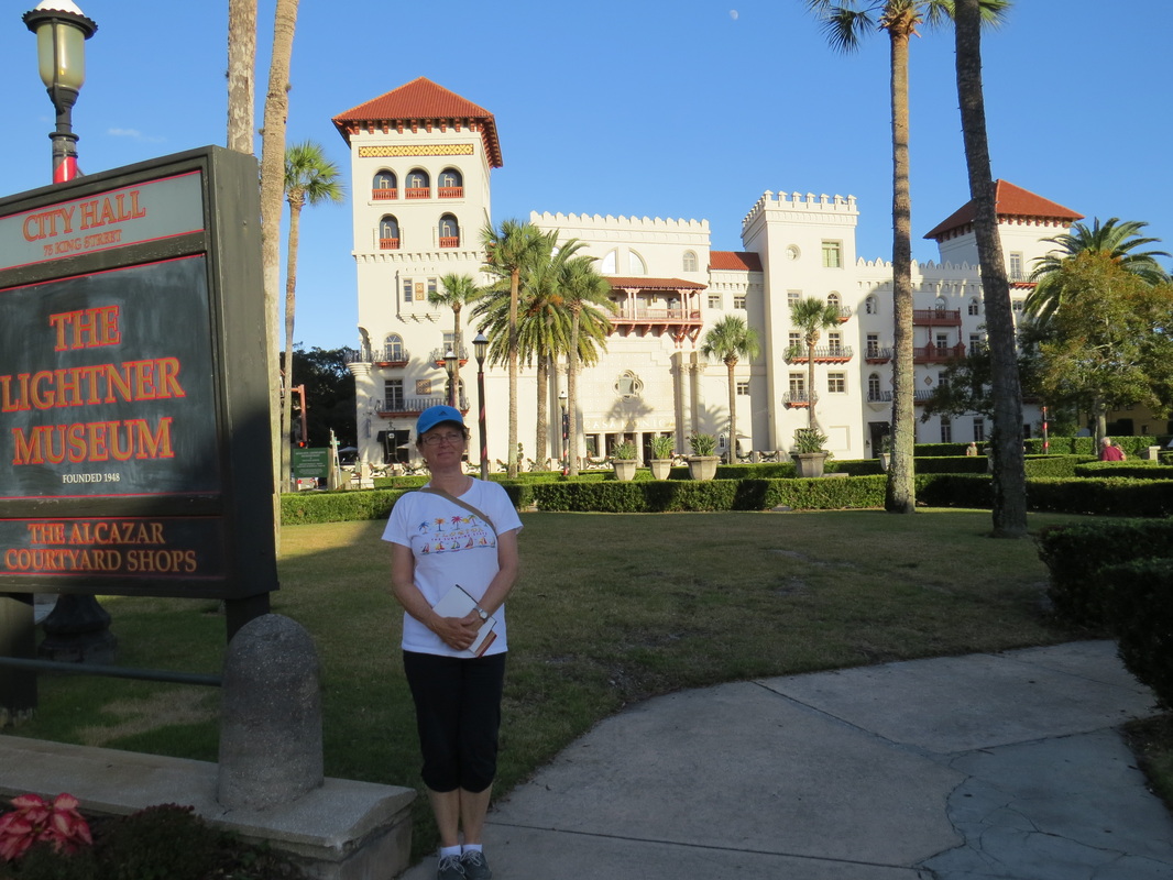
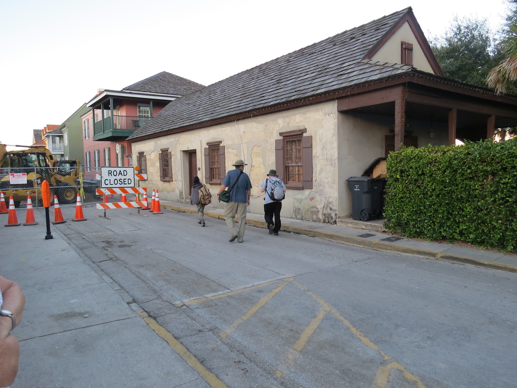
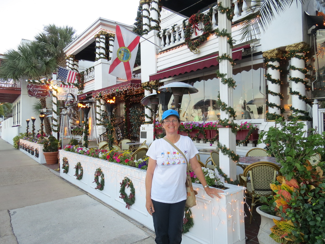
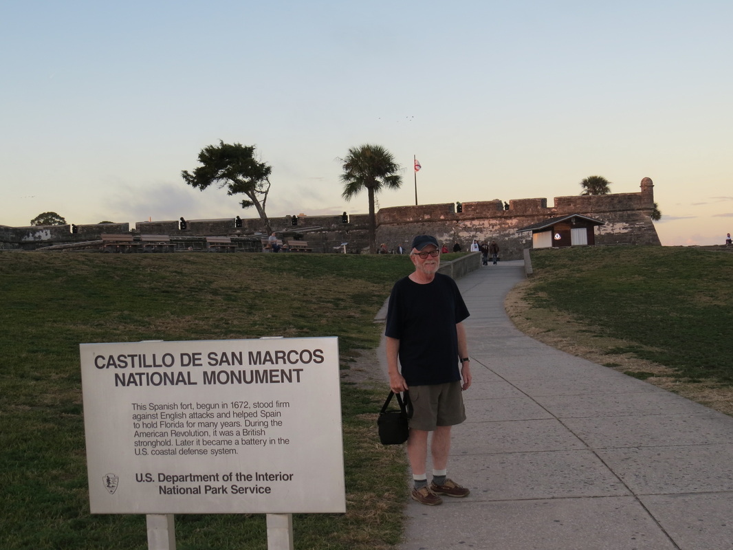
Nov 30/Dec 1/14   St Augustine’s Municipal Dock, St Augustine, FL
                                (Mile 777 ICW)


Dec 2/14              Anchorage, Fort Matanzas, FL (Mile 792 ICW)

Dec 3/14              Anchorage, Rockhouse Creek, FL (Mile 843 ICW)        

Dec 4/ 14             Mooring, Titusville Municiple Marina, Titusville, FL                                  
                              (Mile 878 ICW)


Dec 5/14              Anchorage, Indian Harbour Beach (Dragon’s Point)

                              (Mile 914 ICW)

Dec 6/14              Anchorage, Eau Gallie N., FL  (Mile 914 ICW)

Dec 7-8/14           Anchorage, Eau Gallie S., FL (Mile 915 IWC)

Dec 9/14              Mooring, Vero Beach Marina , FL ( Mile 952 ICW)


1 Comment

Hiking and Sight seeing

12/1/2014

4 Comments

 
Picture
North End of Cumberland Island, GA
Picture
Southern Maritime Forest on Cumberland Island
Picture
Wood's trail, Cumberland Island
Picture
Wild Horse on Cumberland Island
Picture
Wild Turkeys, a couple days before thanksgiving.
Picture
The ruins of the Carnegie Mansion, Cumberland Island.
Picture
Beach on Atlantic side of Cumberland Island.
Picture
Sand Dunes on Cumberland Island
Picture
Soaked to the bone.
Picture
St. Mary's Harbour.
Picture
St. Mary's Yacht Club, decorated for Christmas.
Picture
Anchored Boats at St Mary's, there were about 70 boats all together at the marina and at anchor.
Picture
Fort Clinch, Near Fernandina, Fl. Officially in Florida.
Picture
Fernandina Waterfront, a pulp mill.
Picture
Boy fishing at the Jacksonville Free Dock. During the day we counted 20 people fishing from the dock.
Picture
Jacksonville Free Dock, just off the ICW. There were 7 boats tied up the 1st night. It's about 10 miles up the St. John's River to the City Center.
Picture
Gerry and Browne Altmane. Browne is the self appointed greeter and doer at the Jacksonville free dock. He drove us into the Jacksonville Apple Store on "Black Friday" so we could get a replacement phone. (drowned mine on Cumberland Island)
Picture
Crossing the St. John's River.
Picture
A boat grounded on the ICW, very easy to do with a small distraction.
Picture
This guy told us he bought the boat for $1.00. Sail up to save gas.
Picture
A parade of boats heading for St Augustine.
Picture
Moxie tied up at St. Augustine Municipal Marina. Lifting Bridge of Lion's in the background.
Picture
City Hall, St Augustine
Picture
Picture
Old House built in the 1700's.
Picture
City restaurant decorated for Christmas. St. Augustine is really a big tourist area.
Picture
Old Spanish Fort.
Picture
Every where in the city center is decorated with lights and Christmas decorations. Note Poinsetta's planted in the flower beds. Note we are wearing warm weather clothing.
Came across St Simon and St Andrew’s Sounds in nice conditions, a warm, humid day. The Cumberland River took us beside Cumberland Island so we could see  the  northern wild beach area of this nature preserve, we went off the ICW to anchor at a secluded spot, Brickhill River, it was the first time since Virginia that we used screens in he evening. The next day, after a short voyage, we took a dingy ride to The National Seashore Park on Cumberland Island (Sea Camp) and hiked the southern part of the island (in the rain) and visited the Dungeness Ruins which were once part of a planation, and was built into a summer estate by the Carnagie family. This island is a treasure, well worth the effort, although it was not a good night at anchor because of the wind, rain , lightening  and strong  currents. We could see the King’s Bay Naval Submarine Base on the other side of the waterway, very "lit up". The next day we went up the St Mary’s River to the town of the same name for some socializing. The town and some annual transients  have the use of Seagle’s ( bar /grille /restaurant) for gatherings that go on the week of Thanksgiving. We were there for an oyster roast and for the pot luck Thanksgiving dinner, lots of food and fun. We meet some seasoned and helpful cruisers whom we hope to see again. There was a cold front that had settled over the South Georgia region and it was close to freezing at night and around 10C during the day.

Crossing to Florida the next day was a cold one, we passed Fort Clinch, Fernandina  Beach, lots of fishing boats and industrial structures. We were greeted at the Jacksonville free dock  by Brown Altmane, the local Jacksonville sailing ambassador who "plays it forward" by offering assistance to boaters. We were in need of a new phone because Gerry’s got very wet on our hike on Cumberland Island he took us way out of his way to St John’s Center, Jacksonville Apple Store. To make things interesting it was ‘Black Friday’-swarms of people’, but mission was accomplished, a new phone.

The weather was warming up, the cruise to St Augustine, FL was comfortable, the passage across The St John’s River was uneventful ( a good thing) , and we were in a flotilla of yachts.  It wasn’t surprising to find all the moorings were gone at The Bridge of Lion’s mooring fields when we got there (every other boat had passed us),  and we couldn’t get in touch with the marina by phone for some reason, so we took a spot at the Municipal Marina- close to everything! Had showers and did lots of laundry! Walked to and cabbed back from the grocery Store with Val and Steve from S/V Barefoot’n. Ran into Mark and Sue from S/V Merlin, whom we hadn't seen since Elizabeth City, NC. 
We went to The St Augustine First Colony Museum, very interesting Spanish and Native American influences, we saw an image of what the first  genuine Thanksgiving looked like(by Michael Rosato,1565). The city is beautiful and extravagantly decorated with lights for Xmas. It is very touristy though and the temptation to eat out got the best of us while we were here.


Nov 21-23/14       Brunswick Landing Marina, Brunswick, GA (Mile 680 ICW)

Nov 24/14            Anchorage, Brickhill River ,N. Cumberland Island, GA (Mile 700 ICW)

Nov 25/14            Anchorage, Sea Camp, S. Cumberland Island, GA (Mile  710 ICW)

Nov 26-27/14       Lang’s Marina, St Mary’s, GA (Mile 711 ICW)

 
Nov 28-29/14       City Dock, Sister’s Creek, Jacksonville, FL (Mile  739 ICW)

Nov 30-31/14       St Augustine’s Municipal Dock, St Augustine,  FL (Mile 777 ICW)       


4 Comments

Brunswick, GA  and Jekyll Island

11/23/2014

1 Comment


Picture
Hi Tide at Brunswick GA
Picture
Low Tide, 8' down from the morning
Picture
Near the Farmers Market in Brunswick
Picture
Unusual musical instrument, made of wood and pvc plumbing pipes. The percussion sticks are missing.
Picture
Back of the above musical instrument. Saw this and others at the Waterfront Park in Brunswick.
Picture
Moxie in her slip at the Brunswick Landing Marina. This Marina is huge, hundreds of boats.
Picture
Rout 17 Brunswick Bridge over the Brunswick River.
Picture
Main Entrance into Jekyll Island State Park
Picture
Old Jekyll Island Club House and Annex, Now a Hotel. Note the croquet court. Jekyll Island was a private club for the rich and famous from 1885 until 1942. Some members built "cottages" and would winter here and summer in Newport RI.
Picture
The pool was a recent addition.
Picture
Another view from the side.
Picture
The head supervisors house.
Picture
Huge oak trees and Spanish moss. The canopy of these trees are something else.
Picture
Electric runabout circa 1915-1920.
Picture
It's Christmas in Jekyll Island. Front porch of one of the cottages.
Picture
We wont be able to visit at night, but quite a few of the trees will be lit up for Christmas.
Picture
Another Cottage.
Picture
Cottages of all sizes and styles
Picture
The "Crane" cottage. Plumbing family Crane
Picture
Some of the workers at Jekyll Island lived on site. Their homes are now small shops.
Picture
Another Cottage. Some of the cottages are part of the Museum and others are inhabited by new owners.
Picture
The main street of the Historical section on Jekyll Island.
We visited Jekyll Island today. It was formerly a private hunting and wintering estate for the rich and famous for people like the Morgan's, the Rockerfellow's  Goodyear's and Crane's, to mention a few.
It's heyday would have been the early twentieth century. It is now a state park, there are numerous hotels, 2 or 3 large (18 hole) golf courses, beautiful sandy beaches, bike trails and many restaurants. There is also a historical section and museum. We relly enjoyed our visit here.

Brunswick GA is a nice little town, It's downtown is having a hard time with many empty shops.
Tomorrow,  we will push on south and plan to be in St. Mary's for the Cruisers get together and pot luck diner on American Thanksgiving day. We should be in Florida the next day.
1 Comment

November 23rd, 2014

11/23/2014

0 Comments


South South Carolina and Northern Georgia

Picture
Our Friends Gill and Sharleen on "First Love" at anchor in Turners Creek, the last place we anchored in South Carolina. They were going to hop "outside" the intracoastal to the Atlantic and come back in at Northern Florida, to miss the infamous winding Georgia ICW. Will see them later in the Bahamas
Picture
Anchorage at Turners Creek, SC
Picture
This was a cold day on the water as we pass this vintage yawl. The high was about 48F and below freezing at night.
Picture
Fisherman off Bonaventure Cemetery, a place of interest -not far from Savannah, GA.
Picture
Gerry huddled over the chart table, doing nightly 'homework'. As you can see, we are a bit cramped, so everything must be put away so we are in "ship shape".
Picture
Sailor getting into the Christmas Spirit at Thurderbolt, a subberb of Savanna GA. We stayed a night here a night at an expensive marina ($2/ ft plus $10 for power)
Picture
We stopped and anchored in this Creek which to do some shopping. Hoggan's Marina charged $10 to use their dingy dock, but the Publix supermarket was right behind their boatyard, very handy and convenient.
Picture
Shrimp boat's are very numerous in this area.
Picture
Livaboards on the old sailboat in front of the old fishing boat.
Picture
The winding ICW in South Carolina and Northern Georgia. It winds and doubles back on on itself so sometimes you wonder if your making headway.
Picture
Passing the entrance to "Moon River"
Picture
10 more ft of waterline and 25 more HP and most everyone is passing us. We cruise at about 6.2 knots in still water but a tide can make that anywhere from 4 knots to 8 knots over the ground, depending on whether its against or with you. Most of the displacement trawlers are going at 8 knots and some of the larger sailboats are doing that as well.
Picture
Tug pushing a barge. Sometimes it's pretty scary when the channel is narrow.
Picture
Wild boars on one of the barrier islands, Georgia.
Picture
We are by no means the smallest boat heading south.
Picture
Low tide can be a bit dicey on the ICW. The tides in Georgia are 8' so low tide can cause problems to a deep draft sailboat. We draw about 5'6" and have scraped through a few a few places. The mud is very soft so no harm is done if you "touch".
Picture
Brunswick Bridge (RT 17) as viewed from St. Simon Sound. 185 ft vertical clearance.
Picture
First sighting of White Pelicans
Picture
The ever present Brown Pelicans
Back on the ICW, it's a cold day. Rivers traveled : The Ashley, Stono, Wadmalaw, North Ediston, Dawho, South Ediston. Caught up with First Love, and anchored in the same spot they did along with 9 others .  Good to have south- bound  company again! Celebrated one month on water with a nice meal and some wine. The next day was even colder going through the Ashepow, and Coosaw  (Coosaw was wide enough to sail) to the Beaufort River. Had a bit of a competition with a boat from Charlottown,: PEI- Be Faithful 2. Went out for supper with Gil and Sharleen from First Love.

There are no pics for the day we left Beaufort because we were frozen stiff and did not even  want to get the camera out. Hilton Head, GA. would be beautiful on a nice day- but  it was cloudy and very windy. Anchored at 1pm, just before the rain started. Very noisy night because of wind , tide  and pedestrian ferries, had to pull up anchor and move in the morning because an abandoned boat broadsided us and was threatening to do worse with it’s bow sprint. At least there was no tornado's as the weather warning predicted. Did a cold motor–sail to Thunderbolt , GA,  in and out of cuts and creeks and very shallow water just before crossing the Savanna River. Lots of boat traffic in this area, sailboats in a parade with us, (we saw Dave single-handling his Hullmaster 27, from Trenton, Ont., we met him at Beaufort, SC) and commercial traffic on the larger waterways. We passed The Bonaventure Cemetery on the Wilmington River which is featured in Midnight in the Garden of Good and Evil.
We had a very tasty sea food supper at Tortula’s, across the road from the marina. The next day we anchored a bit upriver to use a ramp at Hogan’s marina, close to a grocery store a post office, and had lunch on board while there.  It is a busy place and lots of boats anchor there although the lady at the marina said it was not a ‘legal’ place to anchor?? We  traveled by the Moon River ( it is not ‘wider than a mile”-but the homes here have lots of $tyle), across the Vernon and the Big and Little Ogeechee Rivers. The tide was rising so Moxie got past ‘Hell’s Gate’ and a few other shoaly spots just fine, anchoring in a very secluded creek just as the sun was beginning to set. "Red sky at night…" for 2 nights in a row- as the day going through all the rivers close to Sapelo Sound (huge shrimp boat fleet here) was also sunny. Were with a few other boats and had low water again (tide at 1 pm), so we went a bit further than planned to take advantage of the tide noting that the current here is strong in any anchorage. Ended up at anchor in the North River, about 30 miles north of Brunswick
GA. The next day we left at high tide and got through Little Mud Creek and all the other winding rivers, creeks and cuts arriving at Brunswick Landing Marina at about 1:30 pm. Plan to rent a car
here re-provision and see some of the local sights like Jykell Island.
The weather is getting a bit milder, we spent some very cool days and cold nights on the waterway
this segment.


Nov 17/14            Opossum Pt., Broad Creek, SC (Mile 564 IWC)

Nov 18/14            Morningstar Marina, Thunderbolt , GA (Mile  585 ICW)

Nov 19/14            Anchorage, Turner’s Point, GA (Mile 585 IWC)

Nov 19/14            Anchorage, Buckhead Creek GA (Mile 608 ICW)  

Nov 20/14            Anchorage, North River, GA (Mile 651 ICW)

Nov 21/14            Brunswick Landing Marina, Brunswick, GA (Mile 680 ICW)

Gerry Note:  Was able to upload the pictures very quickly this time, less than a minute each which is why there are so many (some places it took 15 minutes a picture). WiFi at most of the Marinas is very slow and everyone is trying to get the most out of it, slowing it even more. The WiFi at Brunswick landing is the best so far, making this segment of our Blog a treat to get online. Boat is working well and again, are we ever glad to have a heater.

0 Comments

South Carolina

11/16/2014

2 Comments

 
Picture
A typical open swing bridge on the ICW. Sometimes you have to time your approach, as they open at specific times.
Picture
An anchorage on Thoroughfare Creek of the Wacamaw River, SC. Upriver from Cape Fear.
Picture
Palmento "palm" trees starting to be more present the further south we go. Typical "low country" scenery.
Picture
Charleston Harbour Marina, across the Ashley River from Charleston.
Picture
Patriot Point Naval museum, some 2nd world war ships including the carrier "Yorktown", a destroyer and a submarine. The carrier had a lot of vintage aircraft ranging from the 2nd war to about 10 years ago.
Picture
We toured Fort Sumter, were the first shots in the American Civil War were fired.
Picture
Fort Sumter National Monument at the entrance to Charleston Harbour
Picture
Downtown Charleston
Picture
Old Southern House in Beaufort SC
Picture
Garden and trees in Beaufort SC
The sun was warming us up ,the wind was chilly, and the tides strong getting into Southport from the Cape Fear River. We saw a small part of Southport –dinged over to the area of Dutchman’s Park from our lovely anchorage. It was there that we talked to Art and Kate Hesse  of Patriot, from NJ, but making their home in this area  now and on their way to Florida. Crossing the border from NC to SC was not met with a ‘Welcome’ sign of any kind, but we took a few photos and noted that there was less development and more trees, it was a Saturday so lots of folks were fishing, and some did not abide by the ‘No Wake” rule.


 “The Strand” at Little River is a boating and vacation area, lots of marinas, seafood restaurants-this area continues to Myrtle beach and Georgetown. We took a marina do laundry and have showers, the port is also a yacht club  so we have dinner and take in the Sat night entertainment.


Next day we passed  the Anna and Victoria, they were going into a Marina and we were pushing on. The fancy homes are thinning out, but every now and then an upscale boating or golfing housing  development shows up- also on this stretch are fishing and hunting ‘camps’, and house boats.  This area was once all rice plantations. We anchored in the ‘boonies’, a lovely spot with one other boat, called home, and touched base with Uncle Arch and Aunt Anne (The Accidental RVers) who got to Charleston, SC  before us, so we will see them in FL.


Survived “the Rock Pile” ! The next day-not much traffic with us (some big cabin cruisers passing us at Georgetown), very low water at MacClellanville, and a lonely anchorage with an occasional fishing boat (this seems to be an oyster harvesting area.) There is a protected forest here as well as  a national wildlife refuge -Awendaw, SC is the nearest spot on the map.


By the Time We Got to 30 miles from  Charleston:

We were out of fresh produce, bread, rum, and in need of the company of others. Gerry is ¾ through Das Boot and Debbie finished reading all her books, so has opened Kindle to the downloads from the Slave South reading list from Coursera. With all this mind we started an e-mail group of other boaters, and did some planning.

  Luckily, we had great neighbours here at the dock- Gerry was able to get a drive to fill the propane tanks. The Marina at Patriot’s Point offers Water Taxis and Trolley service all day, as well as showers, laundry, and a great restaurant: ’The Fish House’. We went to the historic downtown area, bought some groceries,  and found a hardware store that had some things on our list and that  also offered free books ! After storing our stash, Gerry went on a tour of the “Yorkville’ and Debbie went back over the river to The Market. Sundowners with our new friends (the Russell cousins) at the dock was fun- they have roots in Tennessee (40 miles from Dolly Parton’s family place ) and they are very interested in Civil War history. Next day we toured Fort Sumter and went back downtown –great city! Great crab-cakes! Warm Sun! Leaving Charleston in great shape: clean boat ,clean clothes, H20 top-up, pump-out, fridge full! 

Back on the ICW, it a cold day. Rivers traveled :Ashley, Stono, Wadmalaw, North Ediston, Dawho, South Ediston. Caught up with First Love, and anchored in the same spot they did along with 9 others-good to have south- bound  company again! Celebrated one month on water with a nice meal and some wine. The next day was even colder going through the Ashepow, and Coosaw  (Coosaw was wide enough to sail) to the Beaufort River. Had a bit of a competition with a boat from Charlottown, PEI Be Faithful 2. Went out for supper with Gil and Sharleen from First Love.


Nov 8/14              Myrtle Beach Yacht Club, Little River, SC  (345 ICW)

Nov 9/14              Anchorage, Thoroughfare Creek, Waccommaw River (388 ICW)                                   ICW

Nov 10/14            Anchorage, Awendaw Creek,  (436 ICW)

Nov 11-13/14       Charleston City Resort and Marina, Patriot’s Point,    (464 ICW)                                                                  Charleston, SC (Mile 464)

Nov 14/14            Anchorage, South Edisto River, SC (Mile 509 ICW)

Nov 15/14            Beaufort Municipal Marina, Beaufort, SC  (545 ICW)


2 Comments

More North Carolina

11/9/2014

0 Comments

 
Picture
Michael on the Neuse River, NC
Picture
A commercial fishing center between Oriental and Beaufort, NC. A single hander resting at the dock.
Picture
Sunset at Broad Creek, Near Oriental, NC
Picture
Dockmaster at Spooners Creek, Near Morehead City, NC
Picture
Traffic Jam on the ditch, Camp LeJeun, NC
Picture
Sailboat aground at stretch through Camp LeJeun, NC
Picture
These guys are on a mission
Picture
Shore line south of Beaufort NC
Picture
We anchored here at Writesville Beach
Picture
Derelict Boat and building around South Port, NC
Picture
Welcome to South Carolina
Picture
North Myrtle Beach SC, on the ditch.
Picture
Little River, near Myrtle Beach SC, entrance into a huge Marina.
Off to a late start; left Belhaven, NC ( 9:30 am) waiting at one location for  pump-out at one facility and over to another for a fill up of diesel, however the new proprietors were having mechanical problems with the diesel pump, so the spare tank of fuel had to do for the day. It was a cold day starting out, we were dressed as warmly as we could but thankfully the sun was shining!
We took a jut off the Neuse River to a beautiful anchorage in Broad Creek, just north of Oriental, NC. Gorgeous sun set ! The day included motor –sailing the second half of the Pungo River going south, Pamlico Sound, the ICW to the Neuse River.
 
Motor –sailed across the Neuse River, through Adams Creek, the IWC, New Port River , an extra early start got us all the way to Morehead City. Watching the chart very closely coming through the very busy area of Beaufort-Morehead, the  RR Bridge that is usually opened except when a train passes is closed for repairs, (however it is open from 12-1 pm)- by some miracle we sailed through just at 12: 30 pm-the only boat to do so. Really impressive homes in this area, and many boaters! We saw dolphins playing along the way, and it looks and feels more ‘South’-the smell of the  Atlantic Ocean wonderful! The Marina at Spooner’s Creek is ‘up-scale’ for the same  price as average, and just a half hr. walk to the Shopping Center. Pizza for supper, and left-overs for next day.

  The scenery past Morehead City includes some impressive architecture, boat ramps and many folks out fishing. It also included “DANGER” and “Restricted” areas, helicopters,  war ships and other military boats going through Camp LeJeun

Low water levels and a schooner aground just before the Onslow River Bridge created some havoc on the ICW (240.7) at noon- a backlog of ~20 sailboats and ~10 motorboats maneuvered  around a green day-marker ( we went aground but were able to back off ) to get to the swing bridge. We missed the 1pm, but the bridge operators honored the 1:30 -opening 5 minutes later.

  Instead of anchoring at Mile Hammock Bay ( which belongs to the military) , we tried to find a spot at New River- no luck-really low water, so we took a spot on the outside dock of Swan Pt. Marina-lots of traffic: Coast Guard, fisherman, Corp of US Army Engineers barges and others., ie . rocky. Good hospitality though, as we had hot cinnamon loaf delivered to Moxie. The  next day was more of the same, warmer, with more varieties of  shore birds and  even bigger mansions.

  The sun was warming us up but the wind was chilly, and the tides strong getting into Southport from the Cape Fear River. We saw a small part of Southport, dingied over to the area of Dutchman’s Creek Park, which is quite ‘resort’ like. Talked to Art and Kate Hesse  of Patriot, from NJ, but making their home in this area and on their way to Florida. Crossing the border from NC to SC was not met with a ‘Welcome’ sign of any kind, but we took a few photos and noted that there was less development and more trees, it was a Saturday so lots of folks were fishing, and some did not abide by the ‘No Wake” rule. “The Strand” at Little River is a boating and vacation area, lots of marinas, seafood restaurants-this area continues to Myrtle beach and Georgetown. We took a marina do laundry and have showers. 

Gerry Notes:
Moxie is running well, we burn about 1/2 a US gallon an hour.  Get's a bit dicey with the holding tank
and we need to pump-out every 3rd day or so.  We do about 30-40 miles a day, starting early and trying to get to our destination by early to mid afternoon.  99% of the big power boats, the fast trawlers  and sport fishing boats are very courteous and do a "slow pass" as to not knock us over with their big wakes.  As for the local power boaters, they all wave as they go past you at full speed, thakfully most of them are 25' or under. There seems to be a lot of plywood and paint wasted on the "NO WAKE" signs. We are trying to get to Charleston by the 11th and stop for 2-3 days to "smell the roses". Seem to have lost contact with some of the cruiser's we met earlier on especially the ones from the Chesapeake and the Dismal Swamp.


Nov 1-2/ 14          Belhaven Waterways Marina, NC (Mile 135 IWC)

Nov 3/14              Anchorage, Broad Creek, NC (Mile 173 ICW)

Nov 4/14              Spooner’s Creek Marina, Morehead City, NC (210 IWC)

Nov 5/14              Swan Point Marina, New River, NC (247 ICW)

Nov 6/14              Anchorage, Wrightsville Beach, NC (283 ICW)

Nov 7/14              Anchorage, Pipeline Canal, Southport, NC (311ICW)

Nov 8/14              Myrtle Beach Yacht Club, Little River, SC  (345 ICW)


0 Comments

November 08th, 2014

11/8/2014

1 Comment

 
Picture
Coming into the visitor's center, Dismal Swamp
Picture
10 boats rafting up at the Dismal swamp Visitor's Center.
Picture
At Elizabeth City, NC
Picture
Where The Alligator River/Pungo River Canal starts. This place was really dismal.
Picture
Where we waited out a north blow for 2 nights.
Picture
Michael, the 88 year old sailor in Belhaven.
1 Comment

Gone to carolina

11/2/2014

0 Comments

 
Picture
Deep Creek lock, North end of the Great Dismal Swamp Canal, 10 boats locked through together.
Getting past the urban industrial  areas and into the “Great Dismal Swamp’ was a nice change, it was a lovely day and the trees were spectacular – pines, junipers, sycamores, oaks and  cedars, some turning colour and dropping their leaves, nuts and needles on our boat. An entertaining lock master, and a parade of boats that became a congenial group to be with for the rest of the trip past the Welcome Center (where we stayed the night) to Elizabeth City. The “Rose Buddies"  were in Liz City to meet us and helpful hosts. Our group of nine boats tied up at the FREE Public Dock. We had ‘wine and cheese’ with the city’s  sailing enthusiasts and  then dinner with 5 other couples who we hope to see again soon.

The next morning we got up early to get past the Alligator River Canal-it was windy and choppy. Not very pretty and noisy at times with military fighter  fighter jets practicing. We got as far as we could Tuckahoe Pt. with a few other boats anchored within sight. This area was "dismal", most of the land being at sea level and the trees and other vegetation dying off. We can't help but wonder that global warming and the consequential rise in sea levels are having an effect here.

Early set off and back on the ICW, (Alligator River-Pungo River Canal). This is a stretch about 20 miles long and 300 ft wide, and 12 to 15 ft deep. There was a steady stream of southbound boat traffic, mostly us 5-6 knot sailboats. When a big fast power cruiser came up, we would slow to about 3 knots and they  pass at 6-7 knots, as not to bowel us over with their big wakes. Most happily, we made it to Belhaven and luckily nabbed a spot at a marina just as the wind was picking up- here for ‘ a big  NW blow. (30-35 knts) Met up with some previous acquaintances from other ports- Michael, from Wind  in The Willows (had tea with him) and John and Eva from Anna and Victoria  out of Marblehead, MA., along with a few others. The night was very noisy, and the boat is still bobbing up and down at the dock. The high temp today was around 50 F and its going down to 35 tonight. Have our heater on as we write this.  We used some time to read up on the trip the Lundins took last year- Jane’s blog and her log are very helpful –we can relate to “Slogging South” right about now!
Tomorrow, we will try to get as far as the "Oriental City" area.
PS It's very slow uploading pictures to the blog. takes 5-15 minutes or so per picture at this marina wi fi spot. Will put a few pictures up when things improve.

So far this is how it has gone:


MOXIE LOG


DATE:                 PORT:

Oct 14-20/14        Crown Marine, Deltaville, VA                    

Oct 21/14             Anchorage, Reedville, VA

Oct 22/14             Buzzard’s Point Marina, Reedville, VA

Oct 23-24/14        Anchorage, Jackson’s Creek, VA

Oct 25/14             Anchorage, Sarah Creek, VA

Oct 26/14             Town Marina- Norfolk, VA

Oct -27-28/14       Ocean Marine Yacht, Portsmouth, VA

Oct 29/14             Great Dismal Swamp Welcome Center, VA

Oct 30 /14            Elizabeth City, NC

Oct 31/14             Anchorage, Tuckahoe Pt., NC (Mile 104.4 IWC)

Nov 1-2/ 14          Belhaven Waterways Marina, NC (Mile 135 IWC)

0 Comments

Testing our wings

11/2/2014

0 Comments

 
Picture
"Wolf Trap" Lighthouse in Chesapeake Bay
Picture
George Washington Highway Bridge, Yorktown VA
Picture
Norfolk VA Navy Base
Picture
Norfolk VA
Picture
Ocean Marina, Portsmouth VA, "across river from Norfolk"
We left Jackson's Creek Friday Oct 24th and motor sailed down to the York River and up a long ship channel to Yorktown. We spent the night in Sara Creek at anchor, a lovely spot lined with taste-full new and old houses.  Next day we went to Yorktown , (very gusty) did the tourist thing, (Yorktown Museum), it was Sunday so lots of folks chatting us up at the dock. Yorktown was the site of a decisive battle in the American Revolutionary War, and there is a major historical museum there, which we visited.
 
Getting to Portsmouth the next day was motoring again, we were part of a parade of boats going that way ( a few CAN), the view from ‘the grey mile’ was awesome, miles and miles of industrial and military might. The Ocean Marine Yacht facility in Portsmouth, is hosting 40 of the boats participating in a Portsmouth to St. Thomas ,(BVI) ORC Rally, so it is colorful and busy here.  We went to a movie (the Judge) at the Commodore, an  old  style cinema theater attraction that has a dining room set up instead of seats. The next morning we took taxis to main shopping centers, got our flu-shots (at Target) and  that afternoon did a 3 hr.  walk around the “ Olde Towne”, on a hot day-happy to sit here an extra night and have the luxury of laundry and showers.

A lot of that time was spent tracking down a particular cell phone package including the sim card.
It's very frustrating trying to use a credit card online with some of the providers because their data bases don't except Canadian provinces or Canadian postal codes, so the transaction is rejected by the credit cards. In the end bought a prepaid credit card from a drugstore to complete the cell phone transaction.
The boat is working well, sometimes we feel pretty puny next to some of the bigger sailboats and power trawlers going south, but everyone is very friendly regardless. There are quite a few smaller boats too, some smaller than us.

Next stop, The Dismal Swamp and North Carolina.


0 Comments

Hard to believe we are actually doing this.

10/24/2014

1 Comment

 
Picture
Broad Creek, Deltaville VA
Picture
Moxie at the Crown Marine Marina
Picture
in Richmond Va, Civil War Museum
Picture
Gerry and Old Abe, Richmond VA
Picture
Boat Museum in Reedville
Picture
What can I say, they all volunteer
Picture
Jacksons Creek, Micheal's Catameran going south, he's 88 years old
Picture
Compass Rose House in Reedville
Picture
Trip from Reedville to Jackson's Creek
By the time we got to Deltaville, Va. via flight from Halifax ,NS, car rental from Richmond, Va. (GPS  acting up), Gerry with a bad cold, we were wondering…


Next day getting acquainted with the  immediate area (The Rappahannock River), shopping and organizing- all’s good (except for Gerry’s cold). Adrian  left Moxie ship shape. Bobby of Crown Marine an easy going, helpful host, and although he runs a boat yard, not a marina, we feel safe and snug. Woke up to fishing boats out harvesting oysters, and enjoy the friendly attitude of the people here.

 
Drove to Kilmarnock, Va.  (to WALMART) then went back to Richmond as tourists this time, toured the Civil War Museum, drove the scenic way back beside Plantation Country (Hwy) and The Colonial Trail (Jamestown, Williamsburg, Yorktown) We highly recommend visiting this area! There is a cycling trail along this route.


We took the dingy out for a tour of Broad Creek, Deltaville. Va. : The Boating Capital of the  Chesapeake. Miles and miles of boats! 

 
Because our car rental was returned ( to Gloucester, Va.) with help from the young staff working at the Crown Marine office, we  had a reason to go for a long walk to West Marine, but were helped along -had the new propane tank delivered part way back- then, we were given fresh fish for supper and  had a loaf of bread delivered- Thanks Will and Bobby.


Although Reedsville ,Va. was heading  back north for us, the Cruising Guide promised a tranquil, scenic town with good anchorage so we set out, motor sailed, found the Crazy Crab Restaurant/Marina-closed for the day, but we were able to top up with lovely clear water ( well H2O a bit murky at Crown Marina). Took a walking tour and met the owner of a C&C 36 from Marblehead, who is  doing this trip with his wife for the first time as well. He told us he saw lots of CAN boats, as he has been here waiting for a UPS delivery for a few days.


 The next day the Reedville Fisherman’s Museum was opened ,we were in for a treat as the “Old “retired  guys who restore wooden boats for the museum society were working and happily sharing their knowledge. Top notch exhibit and wonderful volunteers! We had a sampling of crab cakes and deep fried (soft-shelled) crabs then motored over to Buzzard’s Pond Marina, for fuel, pump-out and showers.

Sailed back to Deltaville on a blustery NW wind which intensified as we progressed down the bay.
WE put into Jackson's Creek, an anchorage on the other side of the Deltaville peninsula where there were at least 10 boats anchored, waiting out the blow. The next day we spent at anchor and dingied over to the Deltaville Marina Complex, where for $11 per person, you can use the internet, showers, a loaner car, bicycles, watch tv, etc. This is really a 1st class facility, very clean and well kept with a courteous friendly staff. It is also a great place to met folks who are also doing this trip.


Boat Projects  

Having trouble getting hooked up with a data plan to the internet.  Not really a boat issue but an ongoing pain in the but as we have to rely on wi-fi hook up at the present.
We tried the Walmart wireless network, but just can't seem to get connected because of miss-understanding's with the support people, (who can't speak English very well) and their web pages not taking Canadian addresses and therefore the credit card being denied. When we get to a bigger center, ie Hampton, I'm returning the sim cards to Walmart and going to get a "Consumer Cellular"Plan. THis should happen early next week.

Got the alternator problem sorted out by temporarely bypassing the Sterling power booster.
The boat and its mechanical systems are working up to expectations.
Solar system gets the batteries recharged on a sunny day.
The diesel heater really puts out, had to use it a couple mornings and we are very greatfull it works so well.
The new Raymarine Evo auto-pilot really works well, steering the  difficult downwind courses with aplomb.

Today we are in Jackson's Creek and will head to Yorktown tomorrow. We plan to be in the Hampton/Norfolk area Sunday and Monday and then head out towards the "Dismal Swamp" canal, which will be our entrance to the Intra-Coastal Waterway.


1 Comment
<<Previous
Forward>>

    Archives

    July 2015
    June 2015
    May 2015
    April 2015
    March 2015
    February 2015
    January 2015
    December 2014
    November 2014
    October 2014
    September 2014
    August 2014
    June 2014
    April 2014

    Author

    Debbie and Gerry Connolly
    Sailing to the Bahamas the fall of 2014 on the 32' Mirage sloop "Moxie"

    RSS Feed

    Categories

    All

Powered by Create your own unique website with customizable templates.